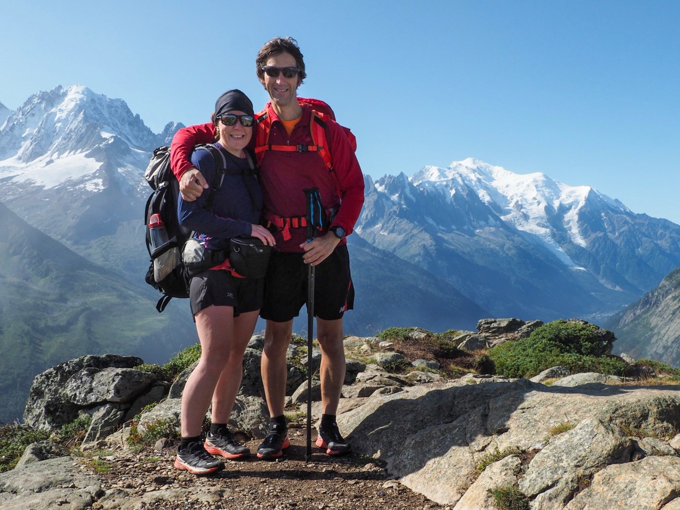
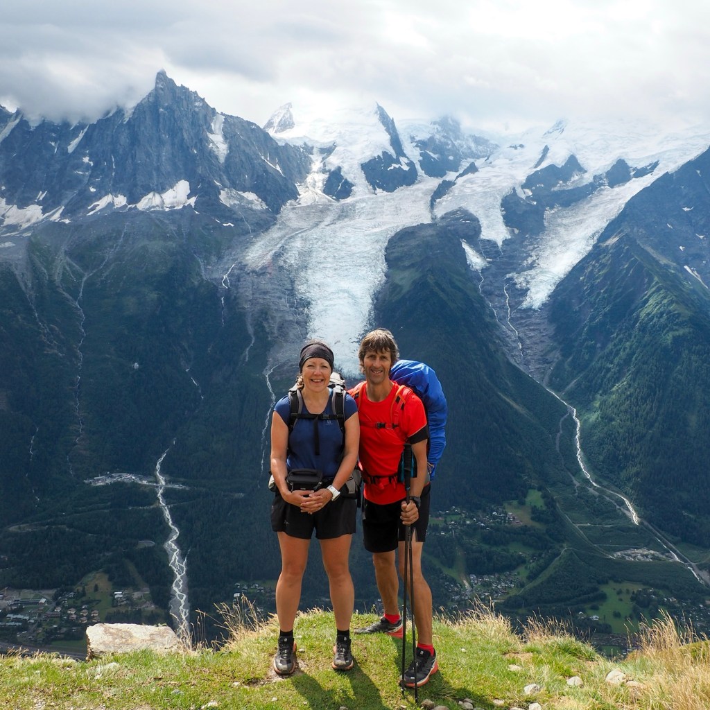
Plans are complete for our next challenge, hiking the Walkers’ Haute Route (WHR) in Switzerland. This trek runs from Chamonix (France) and Mont Blanc (4806 metres) to Zermatt (Switzerland) and The Matterhorn (4478 metres, past most of the other 4000 metre high peaks in the Alps. WHR is a step up from Tour du Mont Blanc (TMB), which we’ve done twice before, and has similar awesome scenery… pretty villages, green pastures, wooden barns, meadows of wild flowers, stunning glaciers, jagged snow-capped peaks and turquoise lakes… cows with bells, marmots, bouquetin, chamois, golden eagles and vultures… I can’t wait!
On the other hand, it’s daunting and I’m apprehensive. WHR is longer than TMB (218 kilometres compared with 174 kilometres) and has more climbing (14,100 metres compared with 9,700 metres). That said, we aren’t doing the first couple of sections on WHR because they overlap with TMB, so we’ve done them before. According to resources, such as the Knife Edge Guidebook that we’re using, the WHR is also more difficult because it has tougher terrain, more remote sections and higher altitude passes: 2987 metres compared with 2532 metres on TMB (for comparison, Yr Wyddfa [Snowdon] is only 1085 metres high). There are also fewer facilities on the trail, and fewer places to spend the night.

We’ve been planning the trip for over a year though and (hopefully!) have everything in place for our adventure to run as smoothly as possible. We’re walking from Le Châble to Zermatt over 12 days, which is a little longer than many people take, but will help make sure it’s manageable for me, and more enjoyable. We’ll also use a few cable cars where we can… well… we’re getting on a bit and those long downhills really hurt our knees these days! We’ve booked beds in 6 refuges high on the mountains and 8 hotels in the valleys, and we’ve checked train times, and what travel and visitor passes will provide discounts.
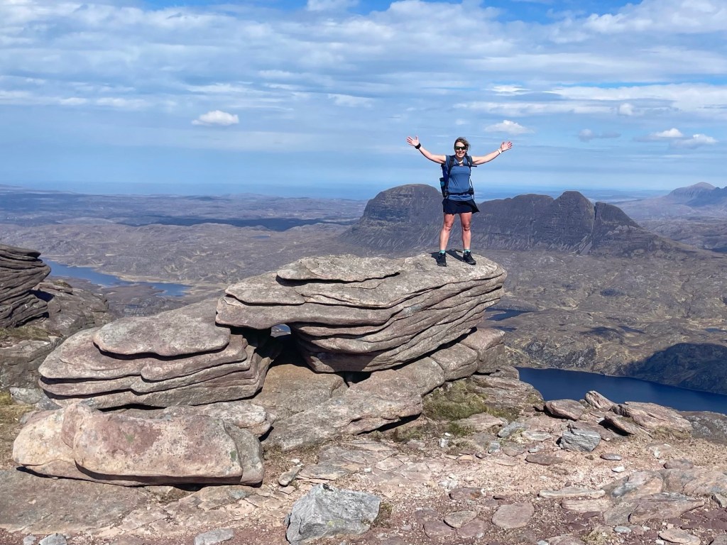
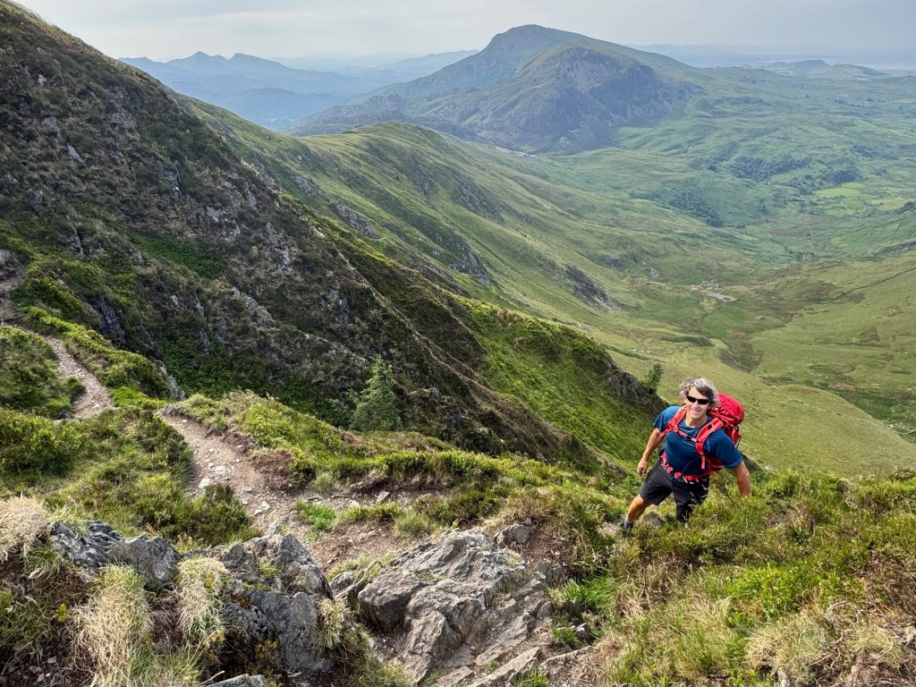
The total distance for the route we plan to hike is over 170 kilometres (unless there are any further deviations to the route due to rock falls or mud slides), which is an average of 14 kilometres (range 9.5 to 19.5 kilometres) a day. That doesn’t sound too bad until you consider we’re doing over 10,200 metres of ascent during the trek, an average of 850 metres (range 520 to 1680 metres) each day. As usual, John keeps reassuring me I’ll be fine. CrossFit training keeps us fit and we’ve done some mountain hikes in Scotland and Snowdonia over recent months.
Before we start the trek, we’re spending a week in Kandersteg, a small town at 1100 metres above sea level. This will enable me (in particular… John adapts far more easily than me) to get used to hiking at altitude, in higher temperatures than in UK mountains… also to get used to carrying my enormous pack, containing everything I need for the entire 3-week trip! More on that in the next blog.

A well-planned expedition! Hope you have good weather and no unexpected rock falls. Enjoy your hike and we’ll look forward to following your daily travels. All the best xx
LikeLiked by 1 person