
It’s been a cooler day today, with plenty of cloud around, and it’s been lovely. It’s so much easier to climb mountains when I’m not melting, although I will admit holiday photos look better with blue skies!
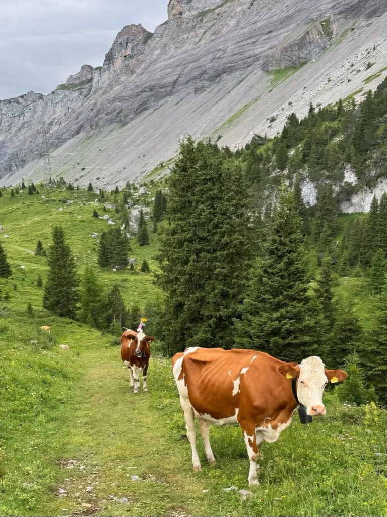
We caught the bus to Eggeschwand and took the cable car to Sünnbuel (1927 metres) where our hike started. The cows were the first obstacle. I know it’s their meadow, but do they really have to stand on the path?! Then the trail went downhill instead of uphill, making the summit further away!
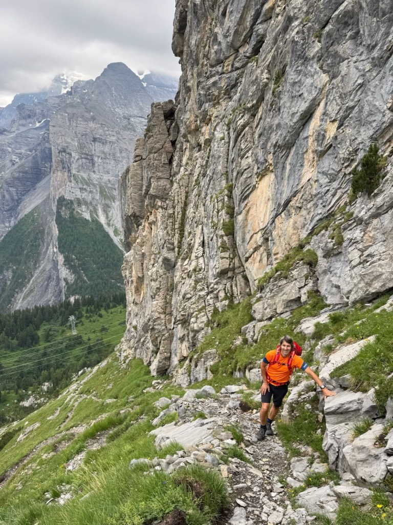
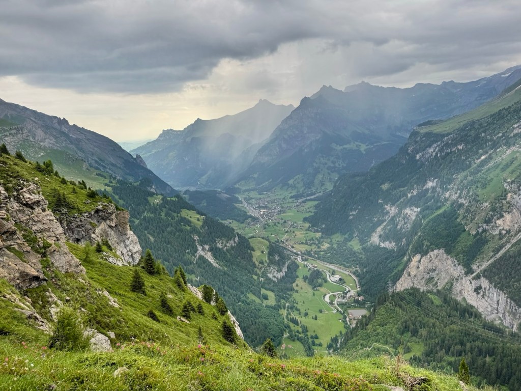
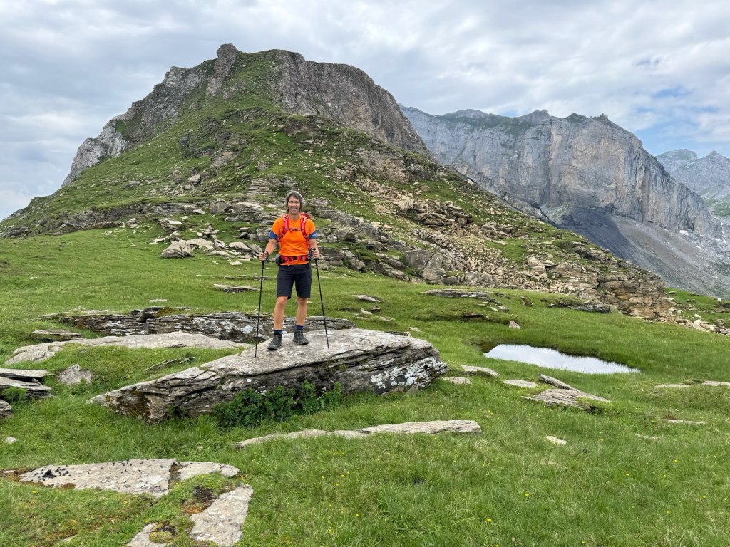
The climb soon began in earnest, on a narrow rocky path winding steeply up around the rock face of the mountain of Gällihore. After a serious of zigzags we finally reached a flat area where we could enjoy the views, watching rain falling over Kandersteg, and hoping it didn’t come our way.
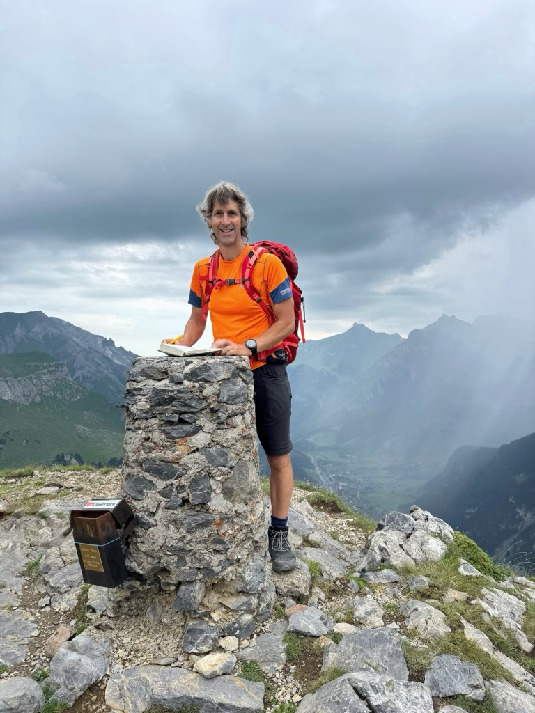
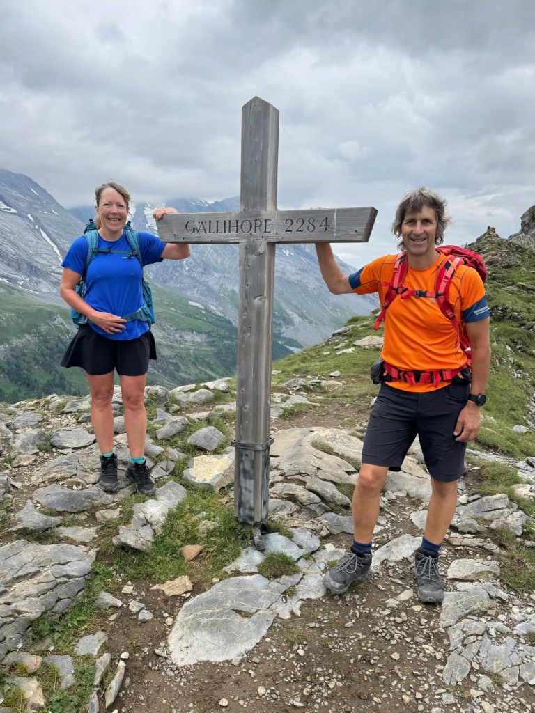
We rounded the end of the mountain and headed steeply up rocky steps to the summit (2284 metres), another 300 metres above us, scrambling in places and using our hands to haul ourselves up. The terrain and wet ground reminded us of hiking back at home in Snowdonia! We soon reached the cross and cairn on the top, and John signed the book to say we’d visited.
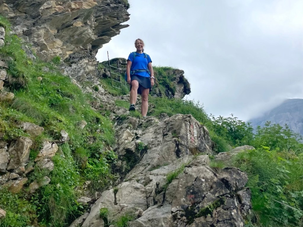
We then retraced our steps back down the steepest section and joined a path along Üschenegrat, running below the ridge for about 2 kilometres, sometimes challenging and rocky, and sometimes easy through beautiful flower meadows.
As well as flowers and wonderful views, we saw some cute and fluffy Valais Blacknose sheep, although they weren’t impressed with us marching over their mountain! Thankfully, the rain didn’t come our way, the clouds lifted and the sun appeared.


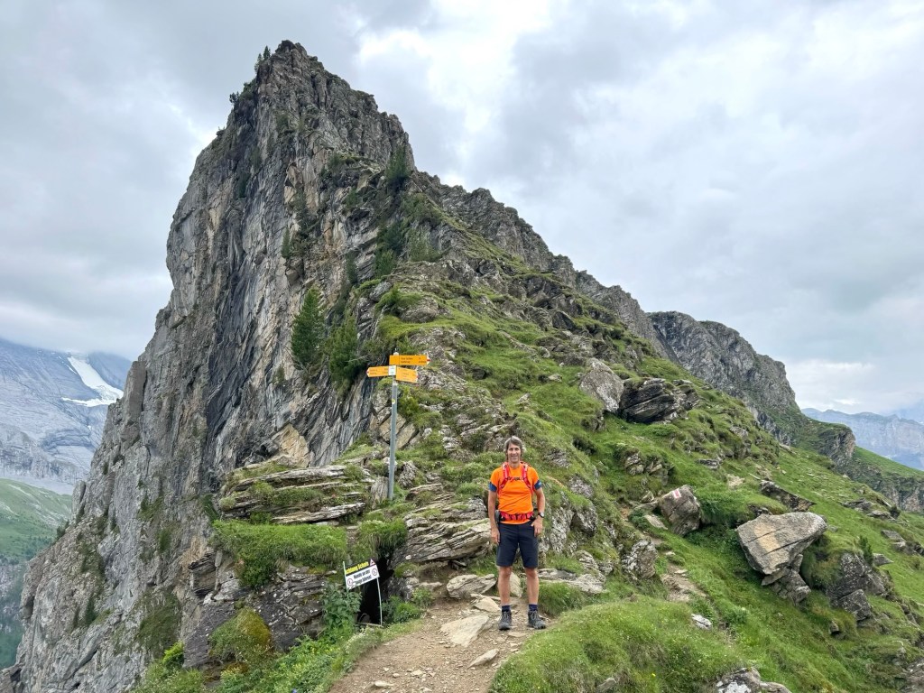
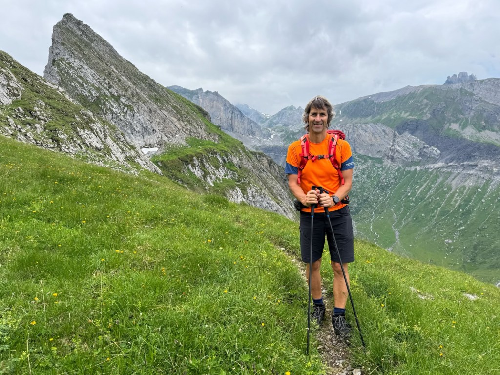
Our second peak, at the end of the massif was Wyssi Flue (2471 metres), another steep scramble. Thank goodness for all those box step ups at the gym!
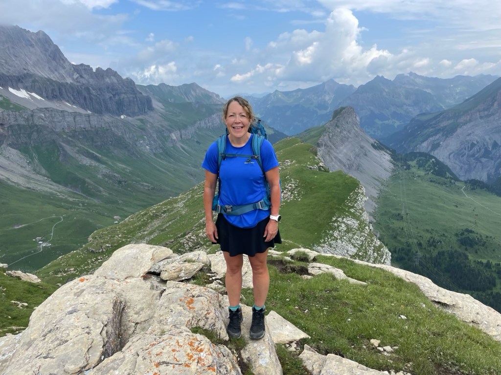
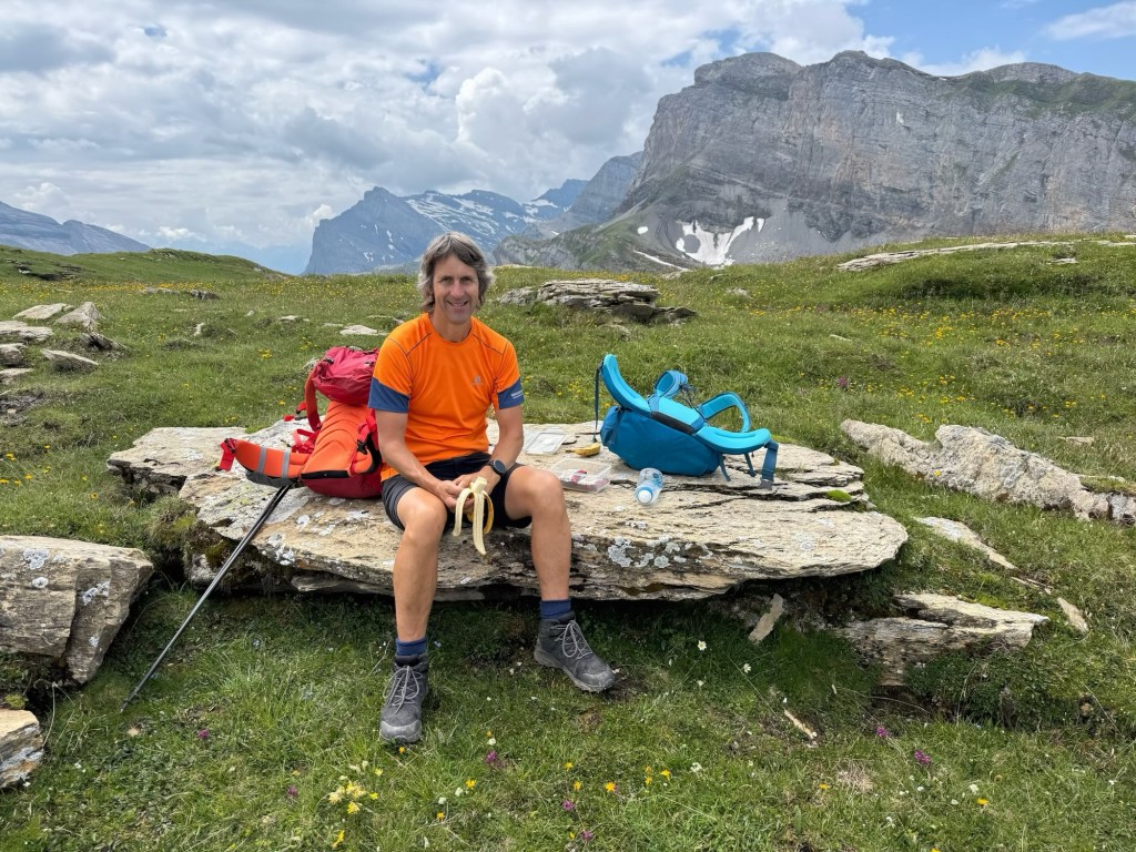
On the top, we sat and had lunch in the warm sunshine, enjoying the views of the mountains all around us, and the valleys either side. It was very peaceful and, in 4 hours, we barely saw anyone until we got back to the valley… 4 people on Gällihore and 1 on Wyssi Flue.
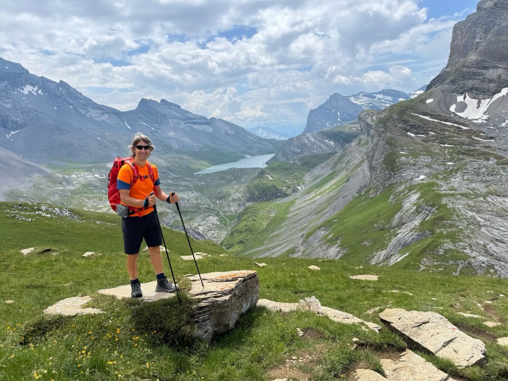
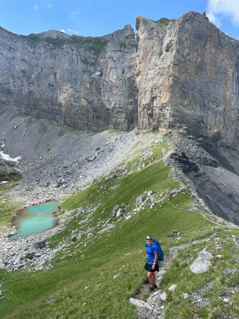
Now it was time to return to the valley, crossing a narrow ridge called Schwarzgrätli, then passing a small turquoise lake below the huge rocky massif of Felshore (2784 metres).
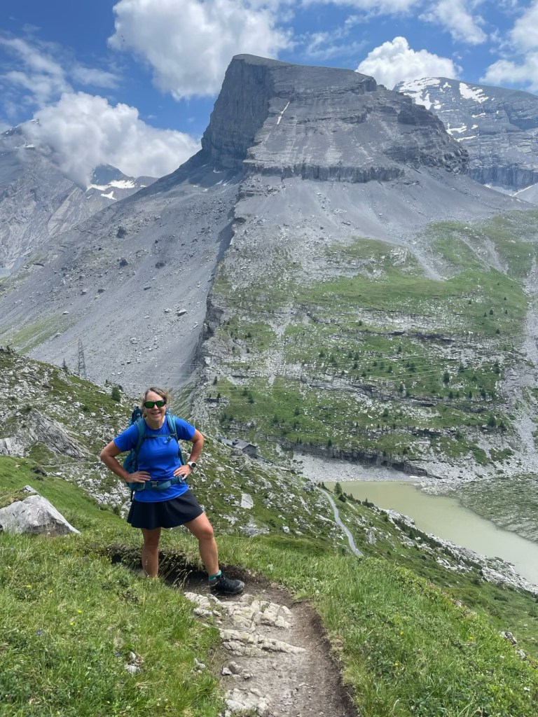
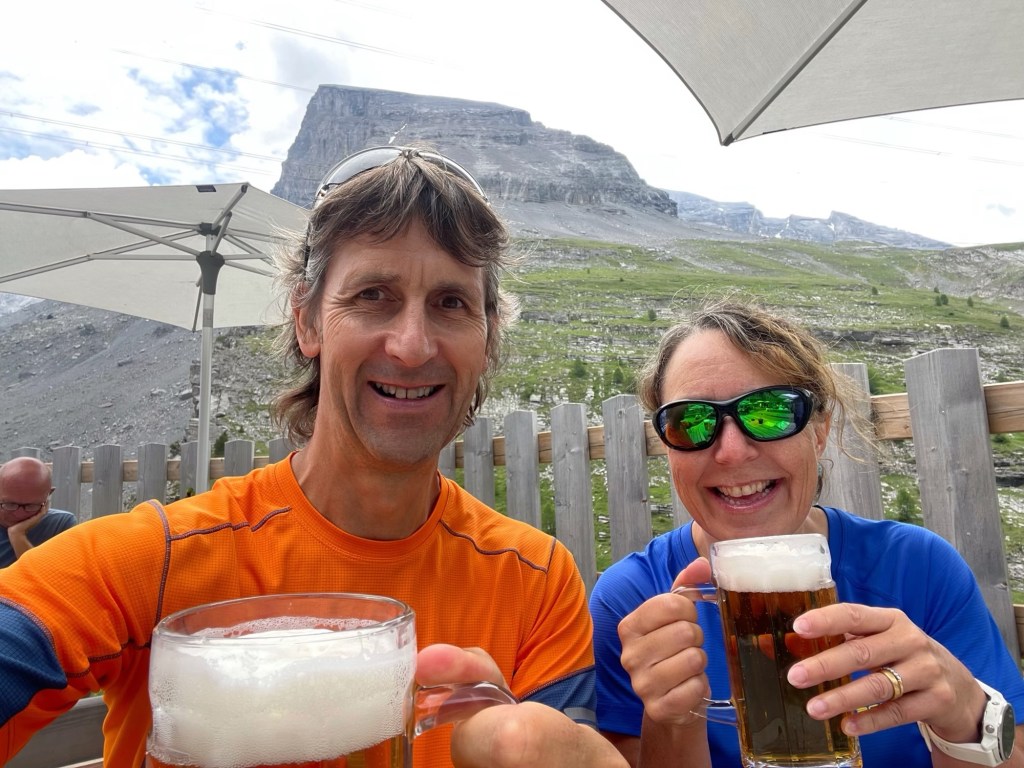
The descent was steep and rough over loose rocks and scree, and the path had been washed out in places by the recent storms. Hotel Schwarenbach was a welcome sight at the bottom and, once again, we rewarded ourselves with beer and cake.

The last 3 kilometres of the hike were along the Spittelmatte valley, mostly downhill on good paths, but with a nasty sting in the trail… a climb to the cable car station. After 14 kilometres, 880 metres of ascent and 6 hours, I was pleased to get there!

Leave a comment