
Today we followed a route known as ‘Sentiero dei Tedeschi’ or ‘Path of the Germans’ because it follows a route mapped out by German and Austrian troops during World War 1. We passed several wartime bases, including fallen down barracks, storage caves and a military hospital. The scenery was stunning but tough and remote. It must have been absolutely dreadful fighting here. I found our hike tough enough and even John said it wasn’t easy.
Instead of taking 2 ski lifts up the mountains and walking back downhill as our guidebook suggested, we did the route in reverse and walked uphill. After about two thirds of the hike, I wondered if I’d made an error of judgement… not because I’d rather have been walking downhill, but because I was worried we’d miss the last lifts back down to Peio… progress felt so slow as the day went on. The hike was 19 kilometres (12 miles) long with 1500 metres of ascent. For comparison, this is similar to going up and down Snowdon via the Pyg track twice.
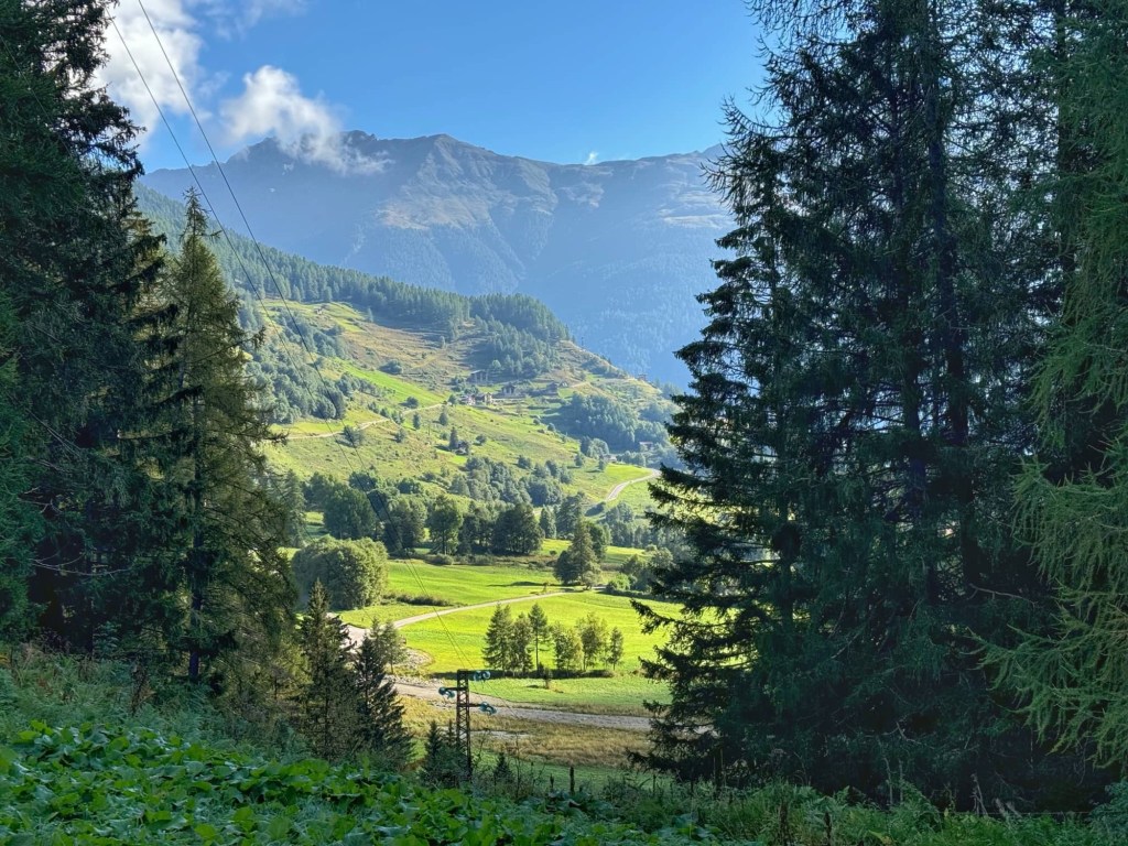
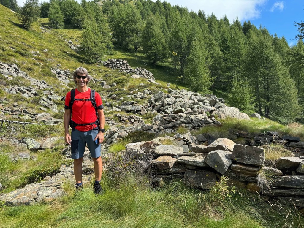
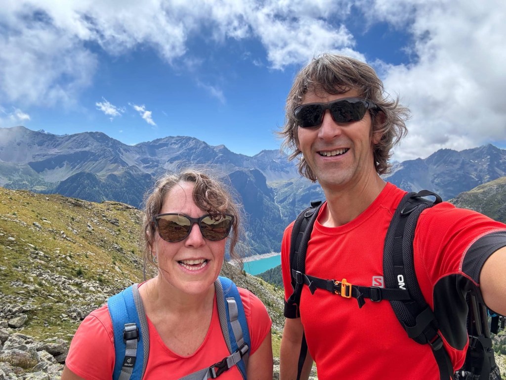
After breakfast, making our sandwiches and packing our rucksacks, we caught the bus to Peio Fonte (1383m). We ended up starting the day with a run to the bus stop because Molly Moho’s habitation door is playing up and it took a bit of persuasion to lock, delaying us. On arriving in Peio, we walked up the road to Malga Termenego di Sotto (1523m) where the walk in the guidebook starts.
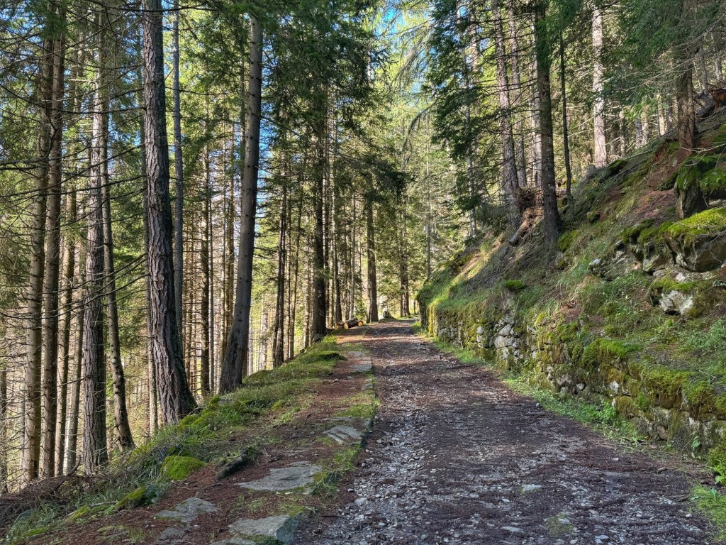
We set off on a military road, which was pleasant to walk up, with large zig zags winding backwards and forwards, and a gradient that wasn’t too challenging. The road passed through tall pine trees, the early morning sun shining through them, creating lovely dappled shade.

It was good to see views of Forte Barba di Fior (1610m) that we visited yesterday through the trees, and gradually disappearing below us as we climbed. Yesterday it was shrouded in cloud!
At the apex of one of the many zig zags, we took a detour to see Cascata Cadini (1800m). This was slightly disappointing because the views of the waterfall thundering down the mountain weren’t as impressive as we’d expected, thanks to hydroelectric power harnessing the force of the water.
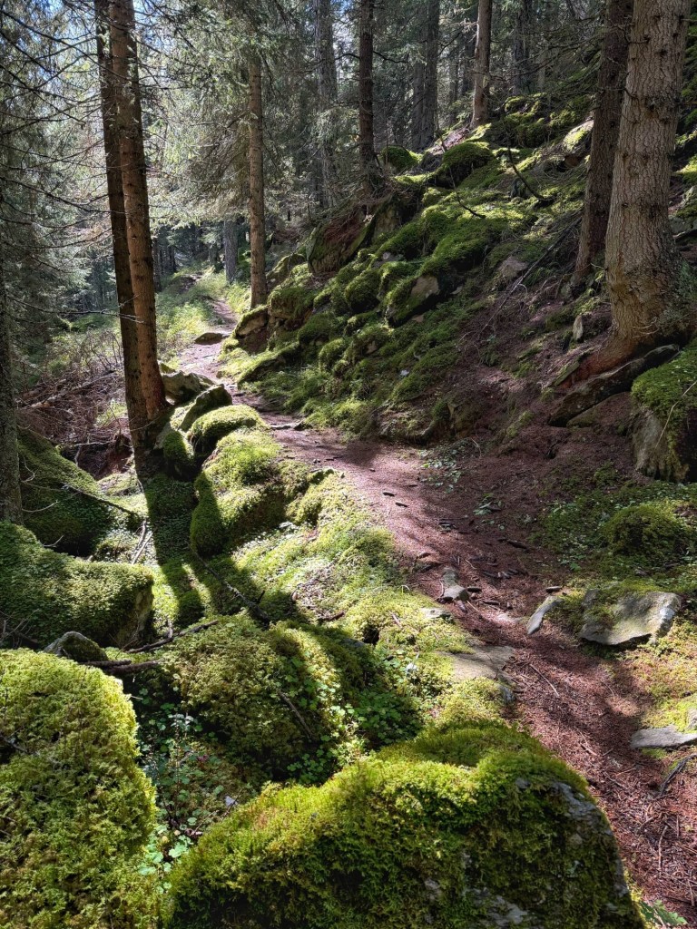

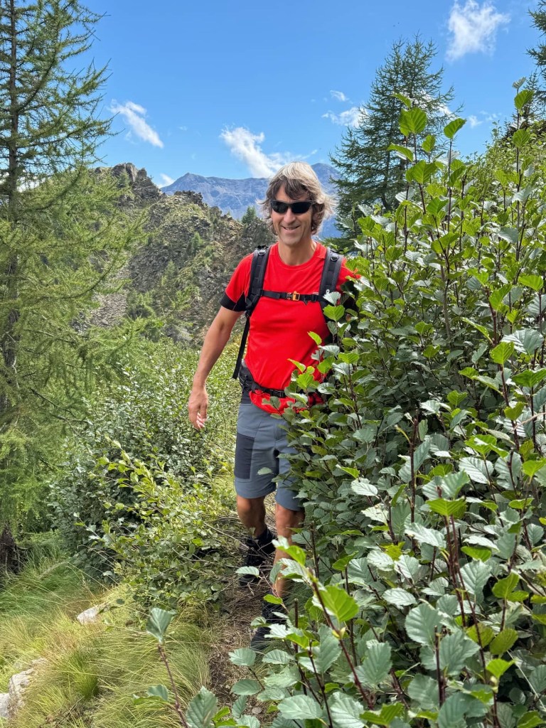
We did enjoy the forest though… the pretty glades, bright green mossy logs and boulders, and shiny mushrooms emerging from the pine needles were wonderful.
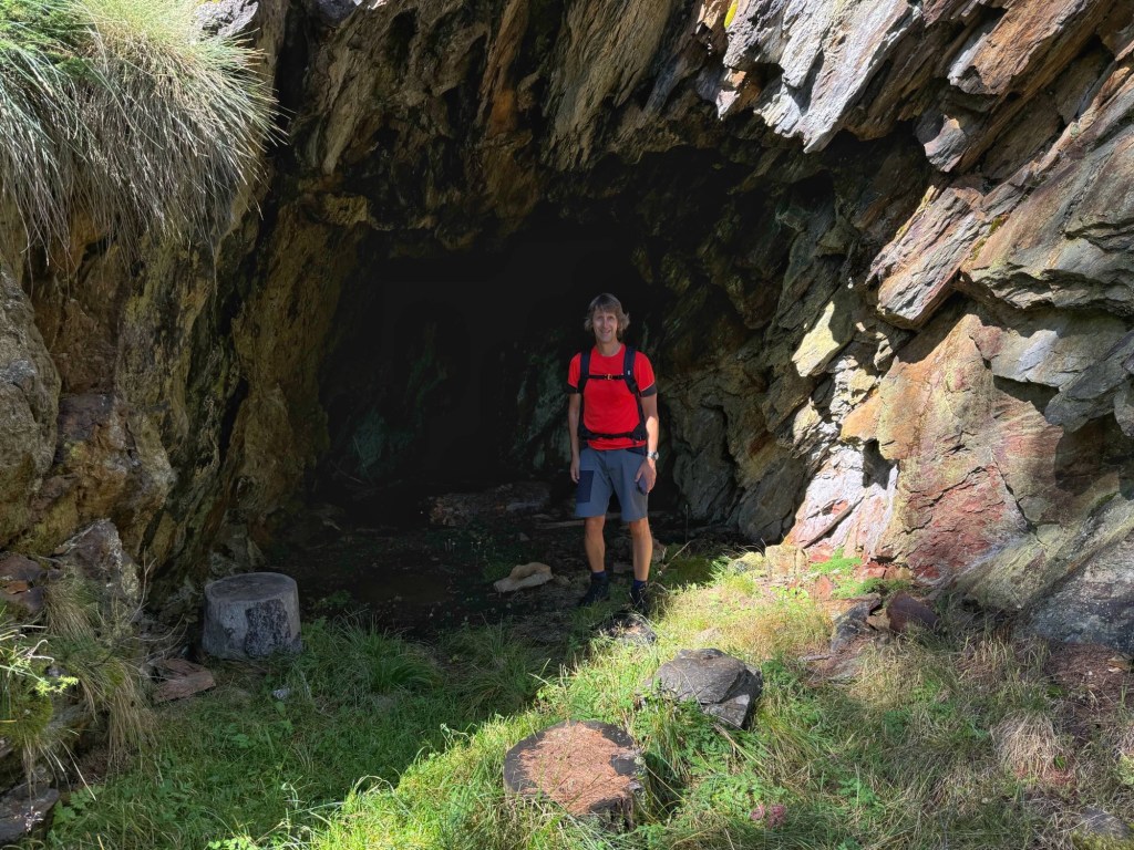
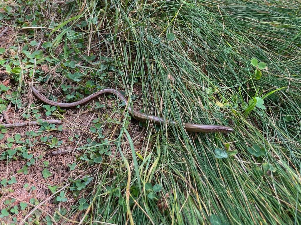
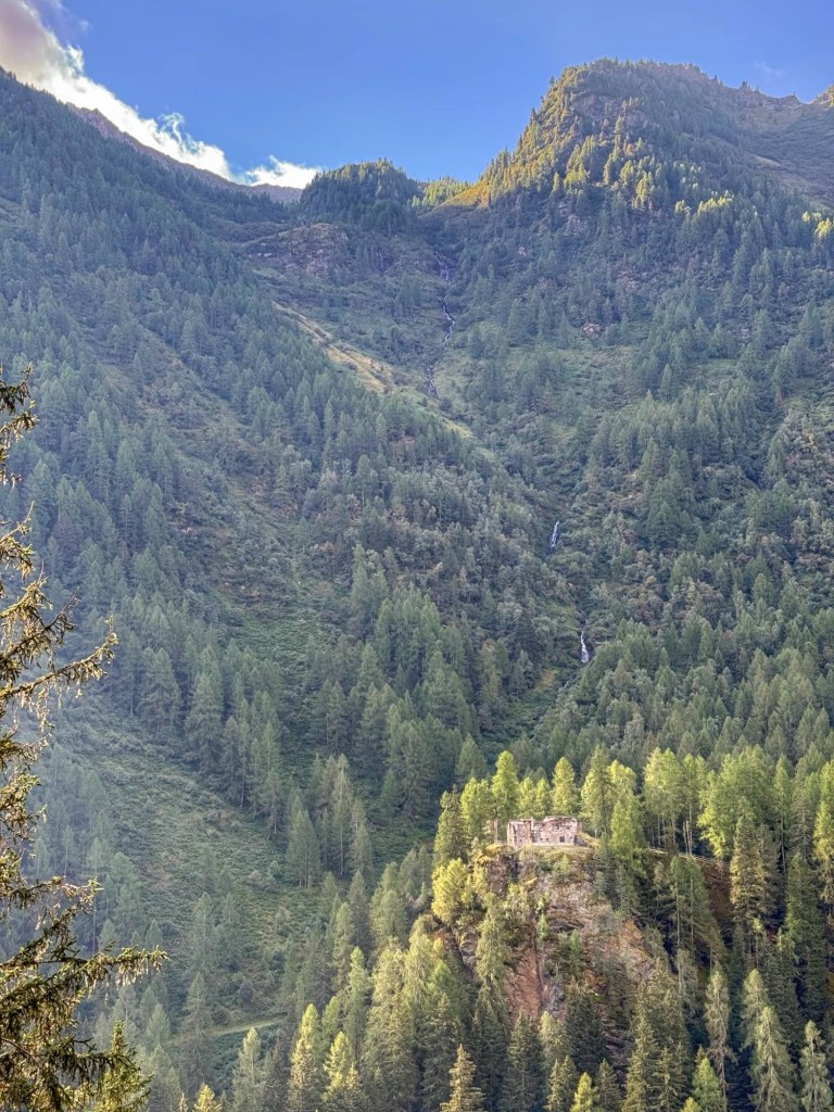
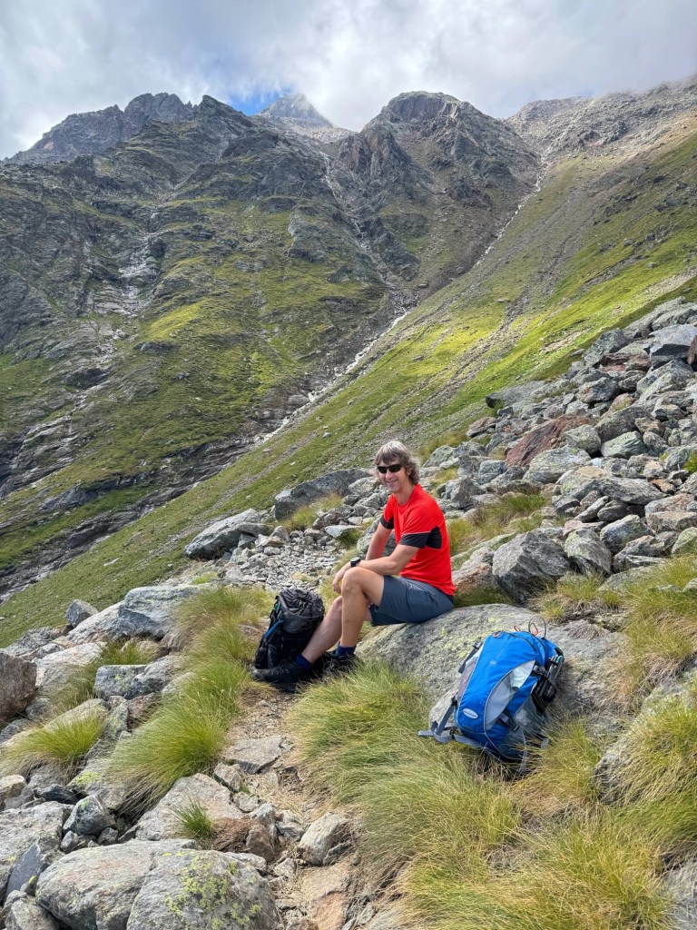
We rejoined the military road for a couple more zigzags before leaving it and turning up a steep, narrow path (1940m) past ruined military barracks, and signs of military life being claimed and hidden by nature. John spotted a slow worm that I’d almost trodden on!
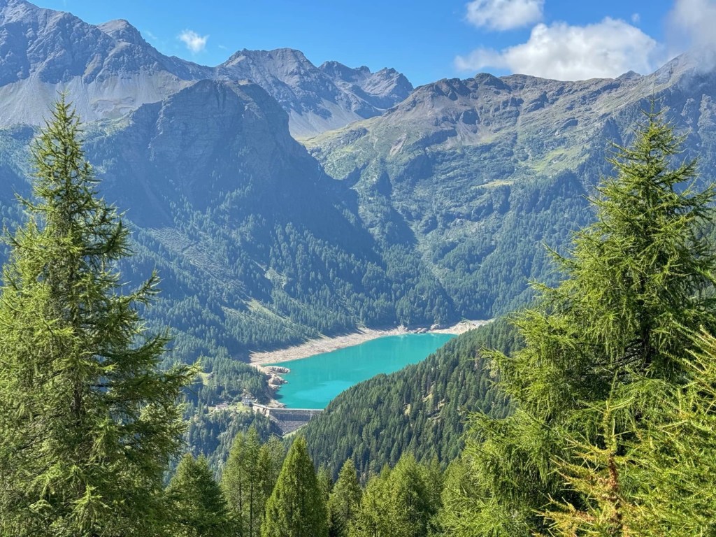
Up, up, up we went, until the trees thinned out and finally we emerged into the sunshine. We past the remains of a military hospital (2349m) to see turquoise Lago Pian Palù, which we walked around yesterday, nestled between mountains in the distance. One side of the valley was sunny, while the mountains ahead of us were shrouded in dense white cloud.

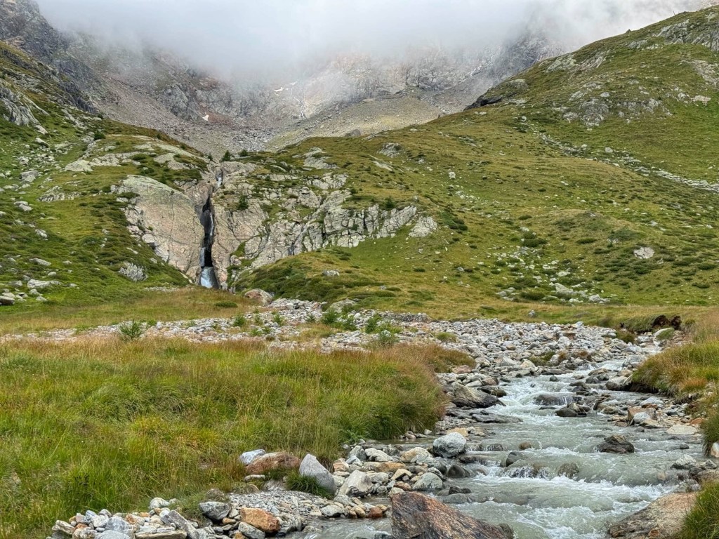
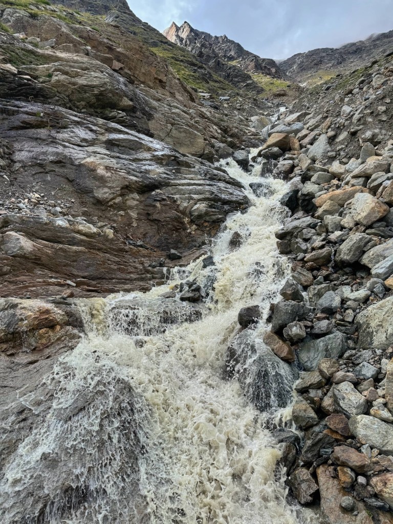
After yet more ascent, we came to Valle degli Orsi (Valley of the Bears, 2480m). We could see a stunning waterfall dropping down a deep cleft in slabs of rock in the distance and the mountain stream rushing towards us, swollen with recent rain and glacier melt.
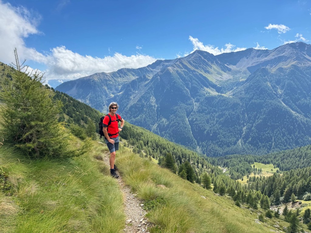
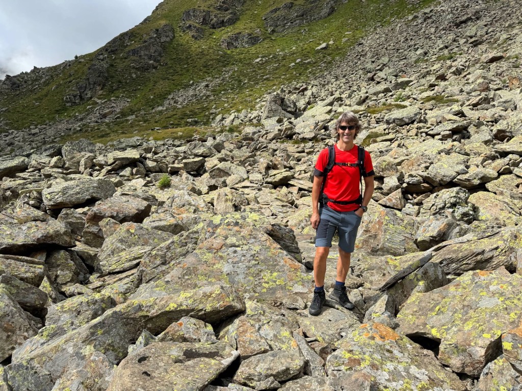
Next we hiked through boulder fields on slabs of rock, for once quite stable. We were now nearing the high point of the hike at a military lookout, with more old tumbledown military buildings and telegraph poles (2532m). There were spectacular views in all directions, including Peio Fonti where we began the walk, and lovely Lago di Pian Palù.
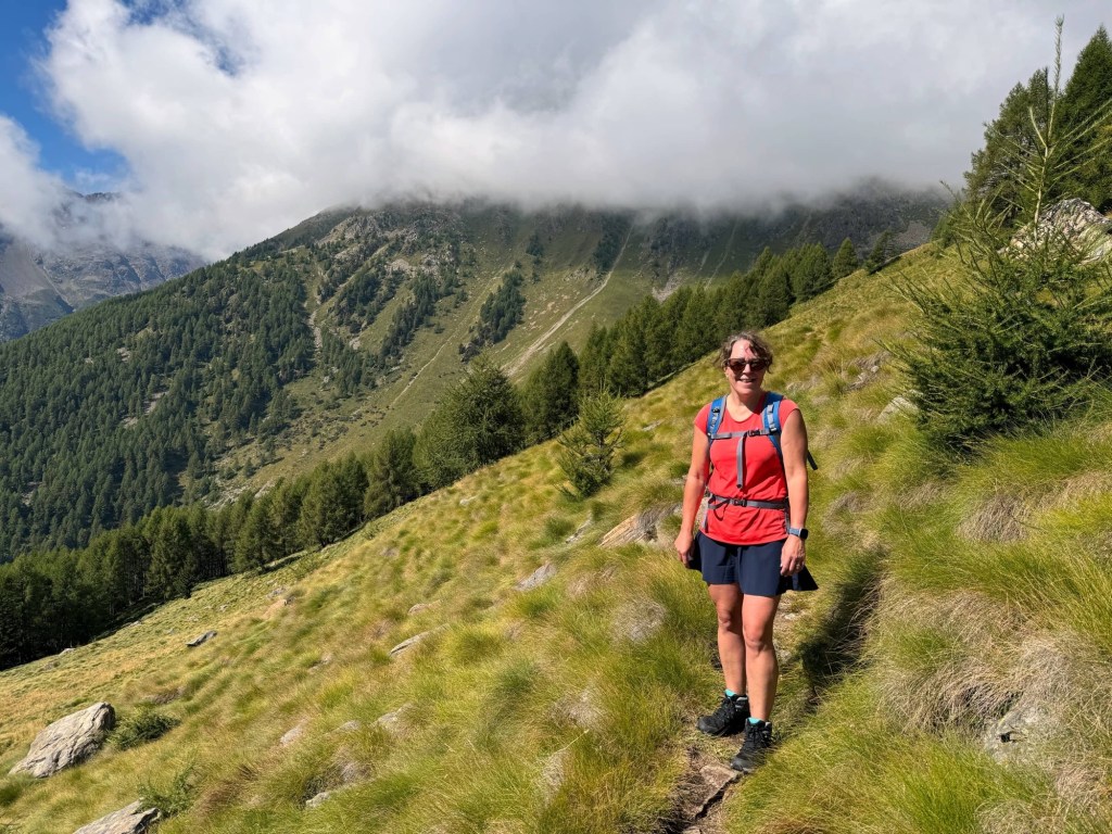
The path continued, contouring around a few more valleys, meandering up and down. Despite thinking we’d done the hardest part of the hike, it didn’t get any easier after the high point. As well as not being the flat or downhill gradient I’d expected, the path was alternately rocky or tussocky, any boulder fields were rougher, and bushes on the path kept barring our way. How I didn’t end up twisting an ankle or falling on tired legs, I’m not sure!

After the grassy saddle at Colen (2368m), the path we originally tried to follow disappeared into the bushes and we ended up bushwhacking our way through them until I ended up on a steep section of hillside, feeling very precarious and in danger of falling. Cue a mini meltdown until we retraced our steps and found an alternative path!
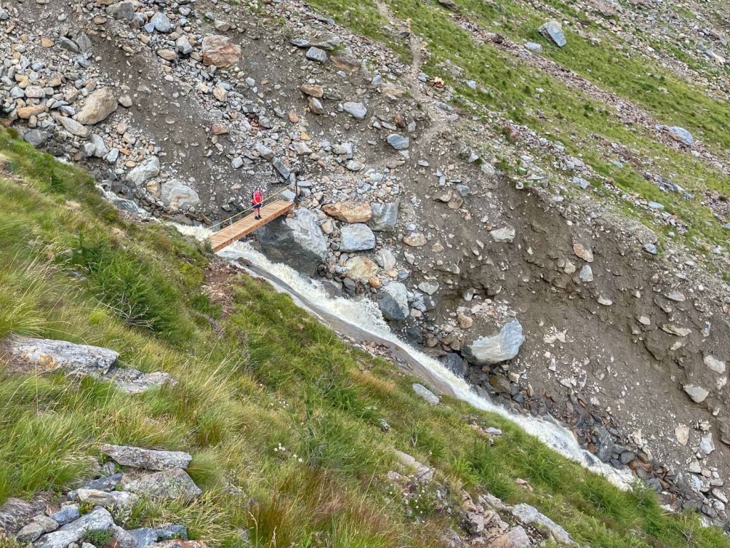

Further on, there were cableways and stemples in the rock on narrow and steep sections of the path. These were fun, as was crossing a wooden bridge over the cascading stream of Val Taviela. My smile was back as I stood on the bridge feeling the spray from the waterfall. We could see where the previous suspension bridge had been washed away. We were also made up to see what we think was a golden eagle soaring above us.
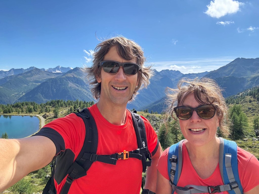
Finally, we could see Doss dei Cembri refuge and chair lift in the distance, beside a pretty turquoise lake, nestled in green pasture.

We passed under the Peio 3000 chairlift and were eventually at the end of our hike. We’d made the chairlift with plenty of time to spare, despite my panic attacks.


I was pleased with myself for walking so far, with so much ascent, but very weary now. I was relieved to get on the chair lift and subsequent gondola, and to celebrate with a cold Aperol spritz back in the town.

Great pix. Must be totally stunning as images never normally do justice.
LikeLiked by 1 person
It was amazing!
LikeLike
Wow, another spectacular hike! The scenery is just incredible!
LikeLiked by 1 person
It was indeed!
LikeLike