Judith joined us for our hike today. We left the campsite just after 7.30 and drove for about 45 minutes up to Ailefroide (1507m) in the Ecrins National Park. The town was busy, with campers, climbers and walkers everywhere but, luckily, we found a good parking sport for Bertie. He’s rather long so it can be difficult at times.
We set off to walk up to one off the refuges in the Sele valley, at this point undecided which. Refuge du Sele is lower (2511m) but sits on a wall of rock, accessed by a series of fixed cables. The guidebook notes that a head for heights is needed. This sounded fun but also scary! Refuge du Pelvoux is higher (2704m), but the route is less difficult.
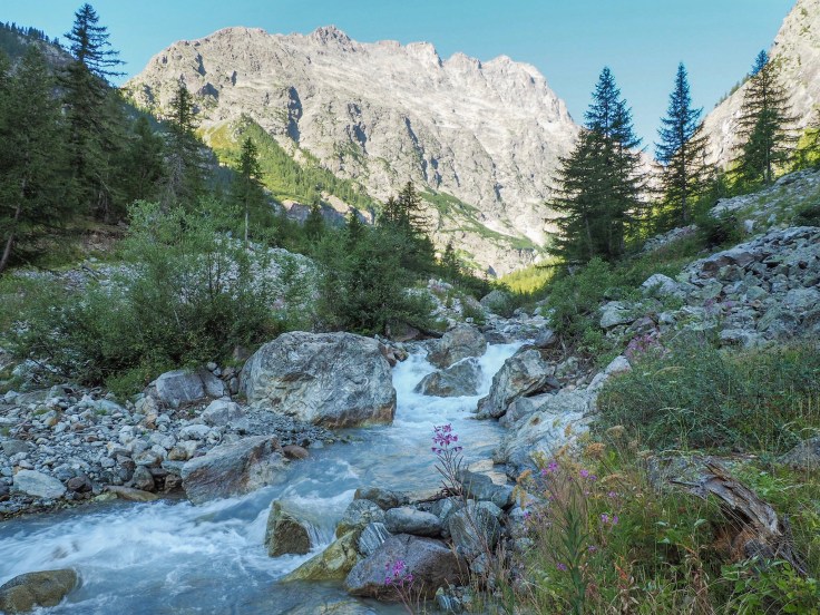
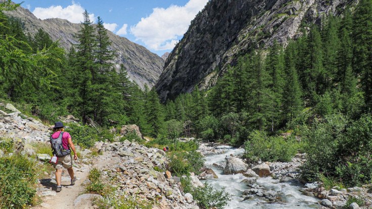
The path up the Vallon de la Sele starts gradually uphill through the forest, along the Celse Niere torrent. It was shady at this point, and nice and cool. However, after about 40 minutes we emerged from the trees into a more rocky landscape, where it was hotter, even though it was still early in the morning. There were wild raspberries, bilberries and juniper growing alongside the path.
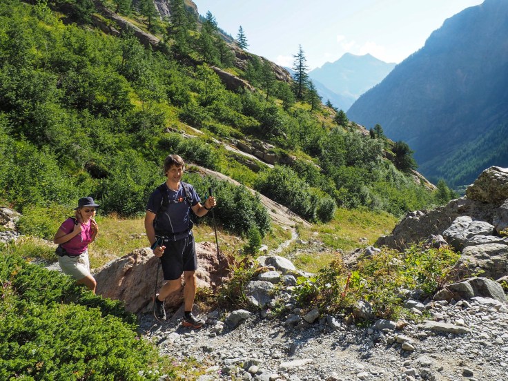
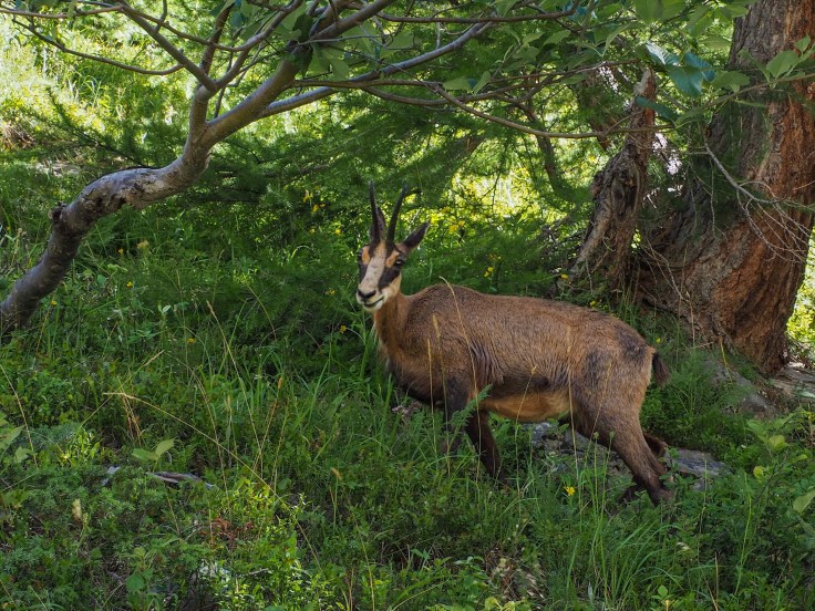
The path zigzagged uphill steadily and wasn’t as difficult as some of the others we’ve hiked this week. We were pleased to come across a chamois, eating close to the path. It didn’t seem to be afraid of us and let us watch it for a while before moving off into the trees. Lovely to see!
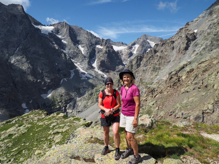
After about an hour and 20 minutes, we came to the path junction and had to make the decision, which refuge to visit. We decided to go for the higher one, Refuge du Pelvoux, which would take us to the highest point we’ve been on this trip, with a big 1200m ascent.
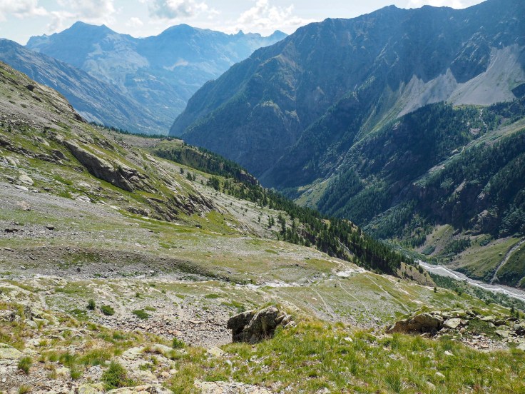
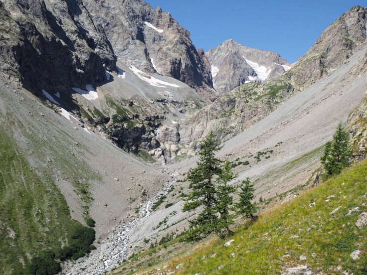
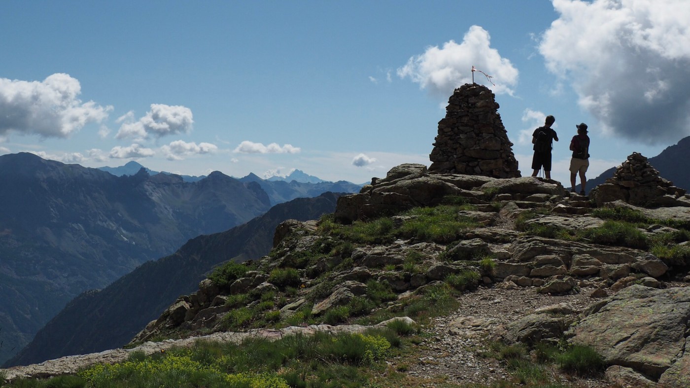
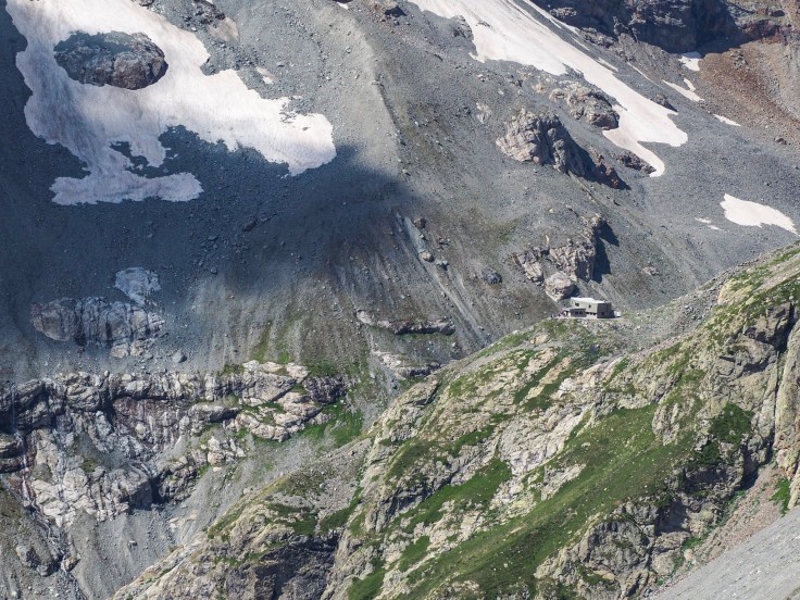
The path wound backwards and forwards around the mountainside, gaining height and getting more and more rugged. It was very hot now and the climb felt more difficult. The views were amazing though, and well worth the effort. Although we could see Refuge du Sele, Refuge du Pelvoux was hidden. Finally, we were surprised to see it pop up right ahead of us! Great!
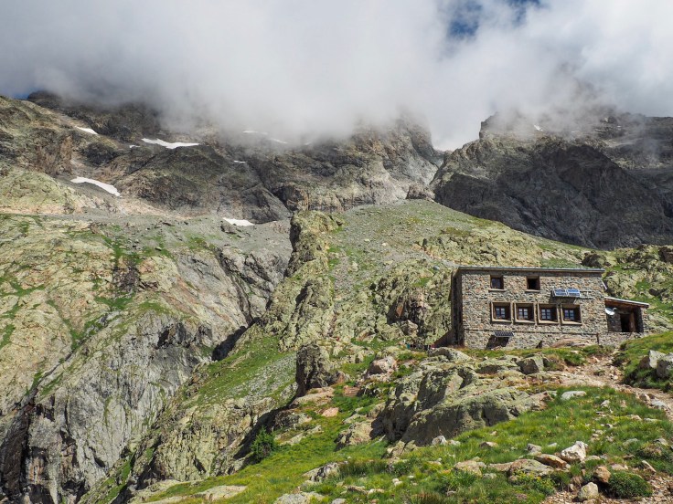
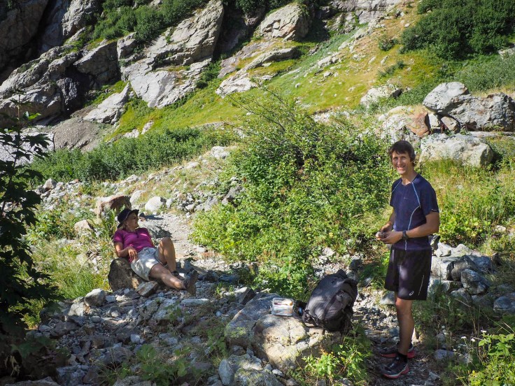
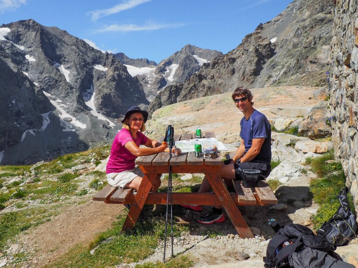
Judith ordered 3 cold beers inside the refuge and John asked what the patisserie du jour was. Unfortunately, there wasn’t one today. It had been dropped on the floor! Oh well. We sat and ate our butties instead, enjoying the sunshine and the stunning views.
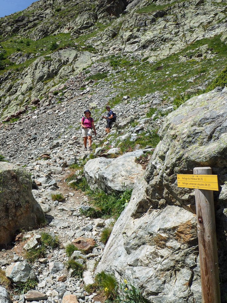
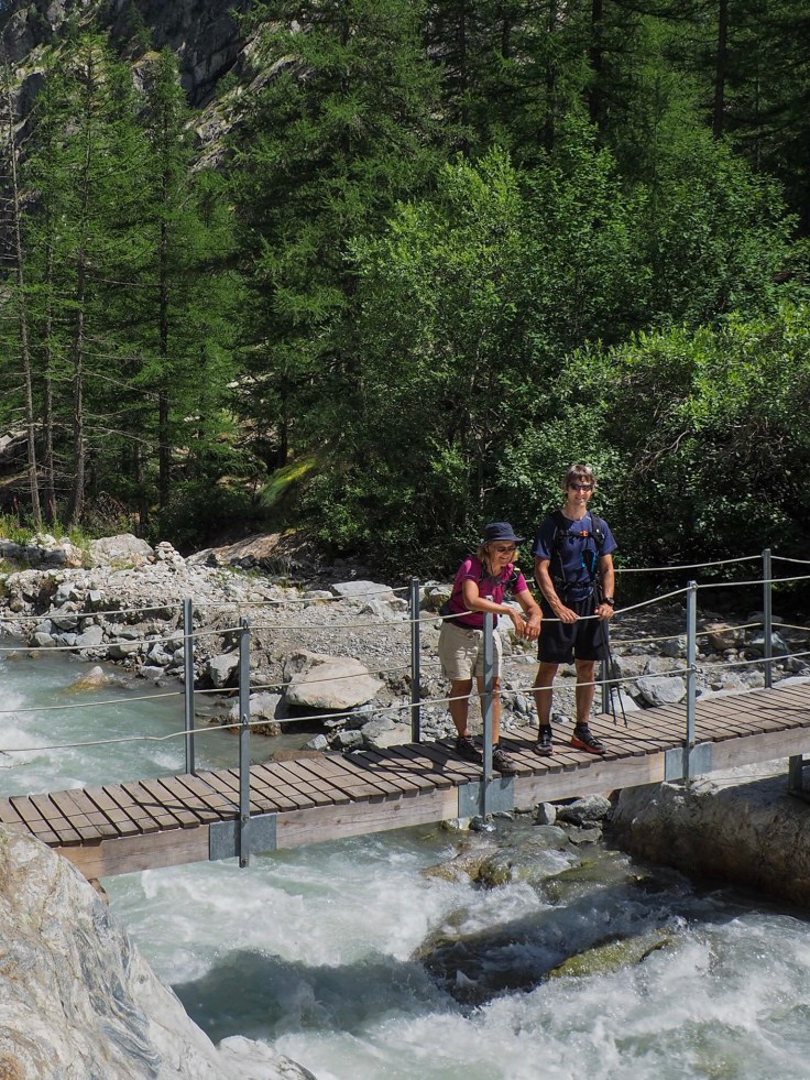
It was then time to retrace our steps and descend the mountain. We made good time and were soon back at the path junction. We’d only seen a few people on our ascent but there were lots of people coming up the path now. Most of them looked as though they were finding it difficult in the hot sun. I was glad we’d started early.
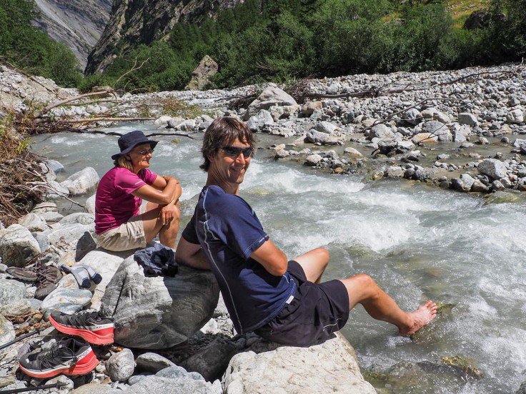
 Back in the valley and close to the river again, we found a spot to soak our hot feet. The water was freezing, but lovely! Overall, the walk was about 16 kilometres long and took about 6 hours. Great training for our Tour du Mont Blanc trip, and it was nice to see another part of the Ecrins.

That second picture, with the little cerise flowers next to the water, with the mountain vista in the background is just gorgeous. I am intrigued by the colour of the water, most of the rivers and streams we see are stained brown with the tannins from the local foliage.
LikeLike