Today’s hike turned into a bit of a drama when, following the route from our book, we ended up on our hands and knees on a rocky ridge with steep drops on each side, unable to see the way ahead because both the path and route markers had vanished. Cue a bit of a meltdown for me!
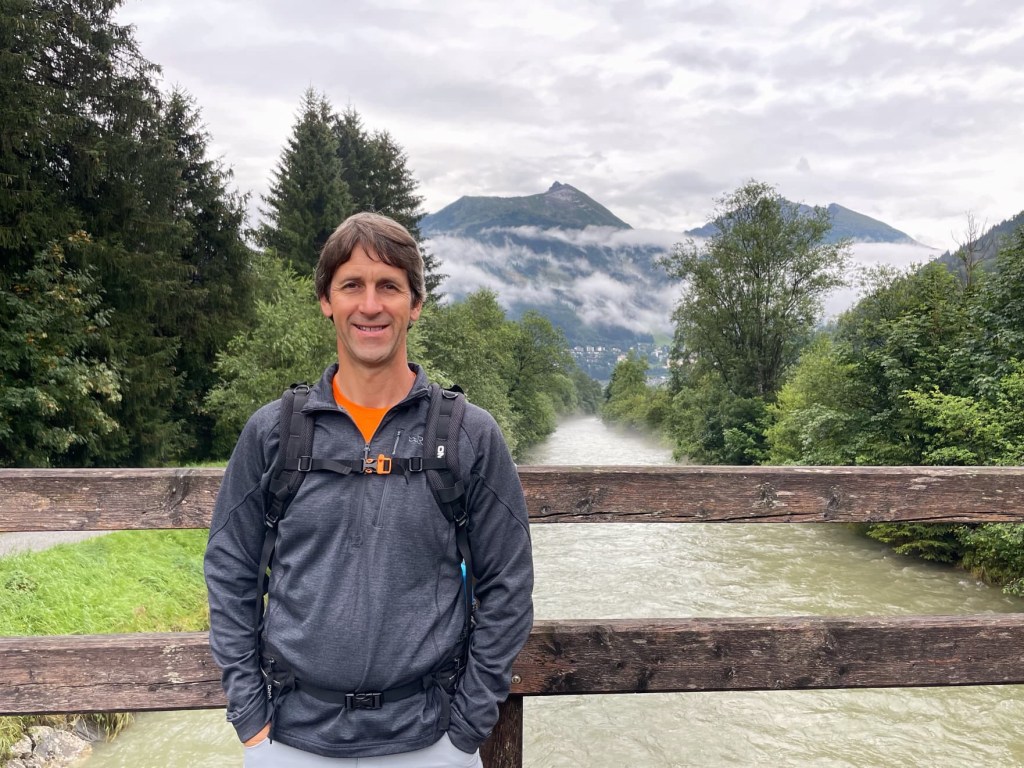
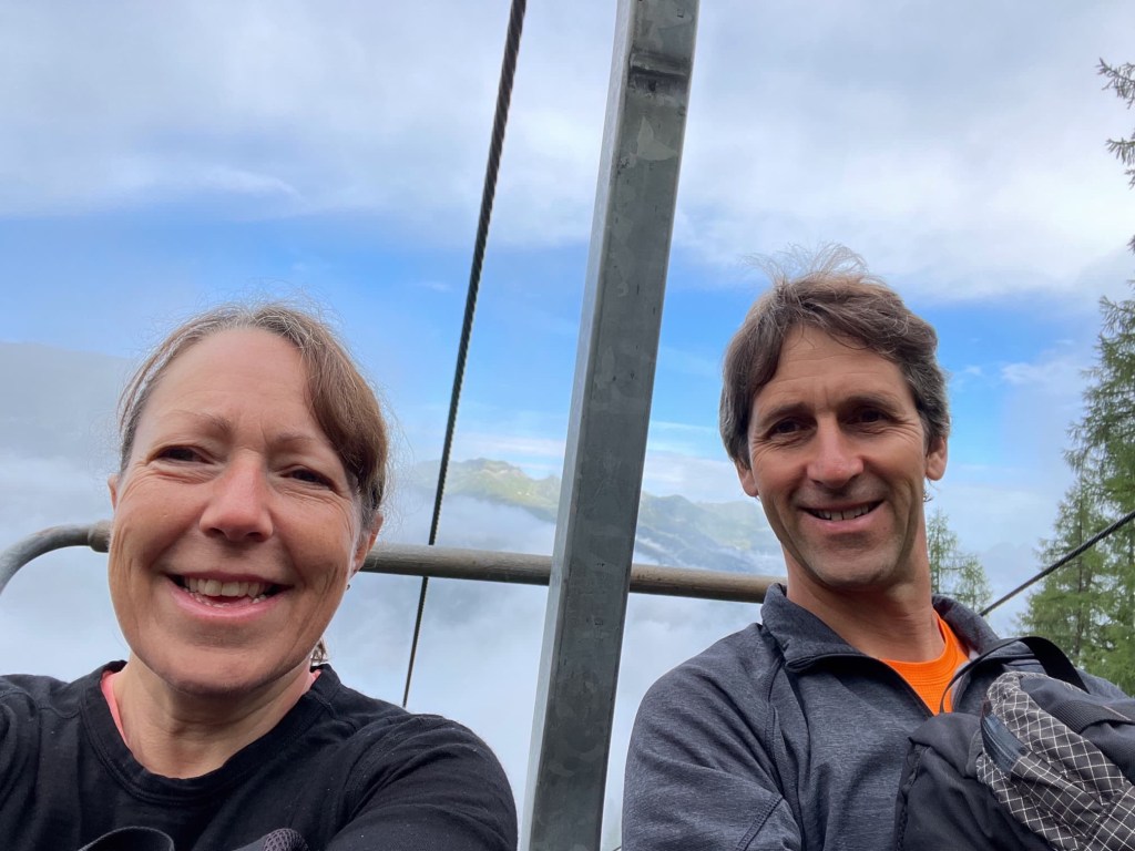
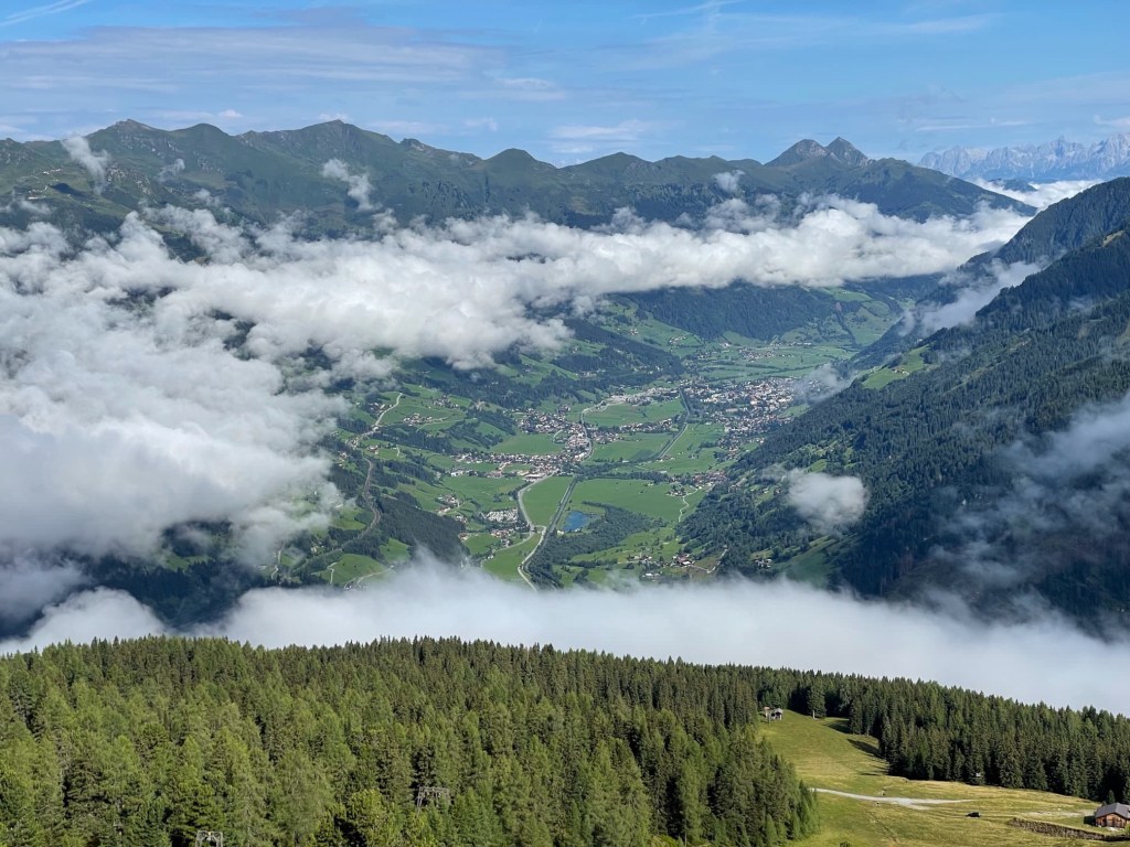
The day started well. We caught the bus into Bad Gastein, then two chairlifts up the opposite side of the valley from yesterday. Although it was cloudy in the valley, once again we rose through it and emerged into glorious sunshine, high above the clouds. It was really peaceful as we ascended through the ancient forest, and we saw a mountain hare and a red squirrel


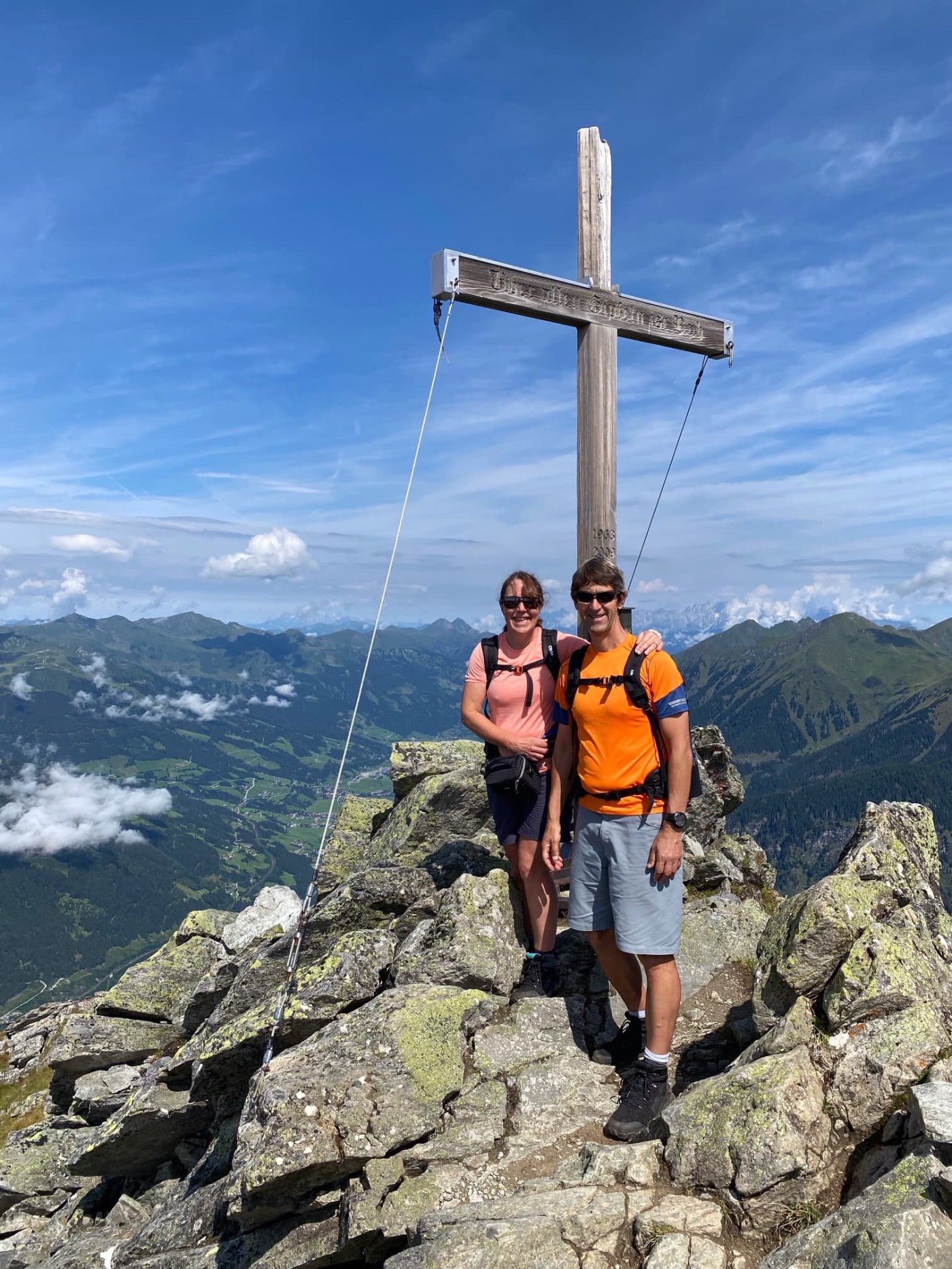
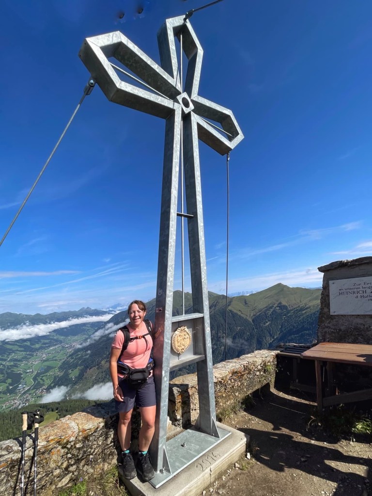
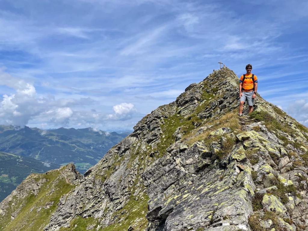
From the lift station (1950 metres), we followed a winding path up the hillside to Huttenkogel (2231 metres high). We shared the path with a noisy party led by a guide, and a couple who’d been on the same bus as us. The summit was packed with another tour party so we just took a quick photo at the cross and set off for the next peak, Graukogel (2492 metres). Thankfully, the tour parties turned back downhill and the mountains were lovely and peaceful again.
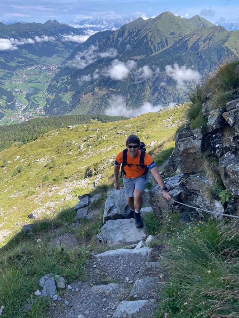

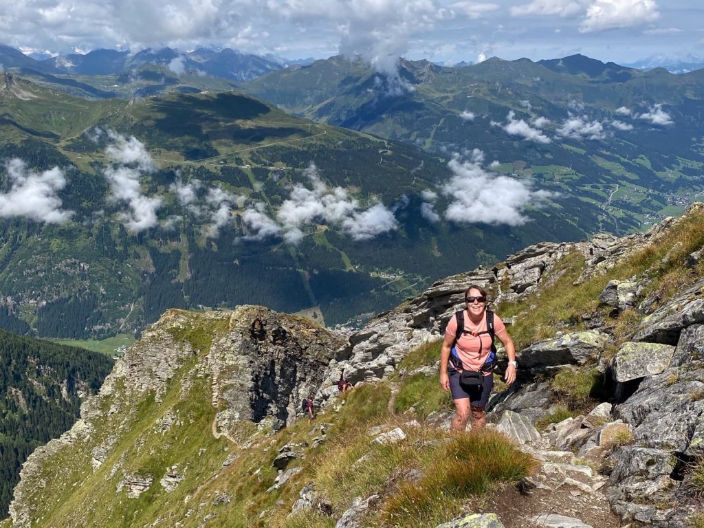
We steadily climbed the path to Graukogel, which we could see looming in the distance, the cross on top visible against the blue sky. It became rockier under foot and not far from the summit became very steep, with some huge drops on both sides of the path in places.


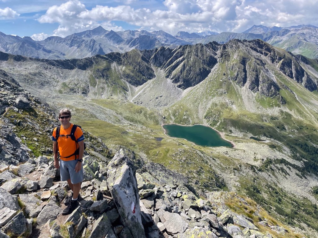
The views were stunning in all directions… over the valley to the mountains we climbed yesterday, down towards our campsite and Bad Hofgastein in the distance, back to Hüttenkogel that we’d just climbed, and down to Palfnersee, a pretty blue lake far below. The plan was to pass this later on our hike.

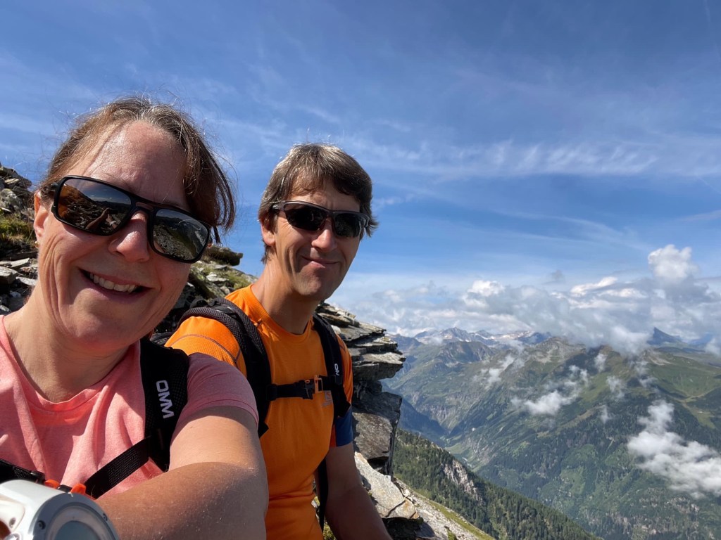
We spent some time enjoying the views on Graukogel and the couple from the bus caught us up. We took each other’s photos… it’s nice to get some together that aren’t dodgy selfies!


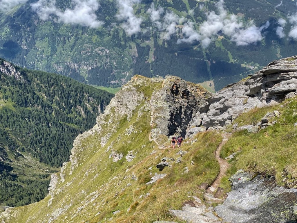
Following the route from the book, we now started to follow the crest of a ridge, towards Palfnerscharte, the col above Palfnersee. The book had warned that the ridge is exposed and caution is needed because a slip could have serious consequences. It should only be attempted by those with experience of scrambling. We have lots of experience of scrambling and have often found that warning in guidebooks are over cautious, and the route was marked on the map, so off we went.
Very quickly I was worried because the route was so tricky and I couldn’t see where we were heading. Despite the book saying the route was waymarked, I couldn’t see a route off the rocky ridge in this direction, and the drops were as scary as the book had suggested! I had a bit of a tantrum, which the couple still on the peak probably found amusing… or maybe they just thought we were mad attempting this route!
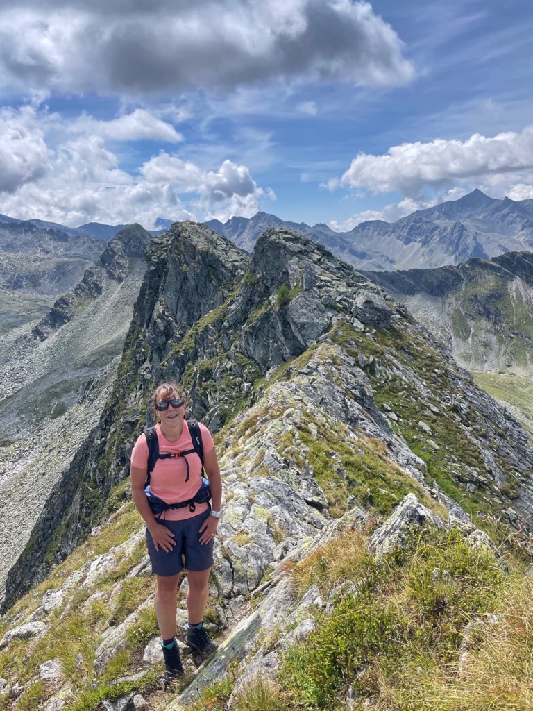

John calmed me down and I agreed to keep going, rather than turning back to Graukogel. However, the path didn’t get any easier as we climbed and crawled over the rocks, with no red and white marks to confirm we were on track. Having rounded a peak, still with no obvious path in sight, John said he thought we should turn back. It would be much safer because we were making only very slow progress and the weather was due to worsen later in the day. And he admitted he was scared too! Neither of us is good with exposure.


We made good progress, retracing our steps and were soon off Graukogel, below Huttenkogel and then back at the lift station. We took a slightly different path through the forest and found a small lake with a bench to sit and dip our fit in the cold water. Lovely!
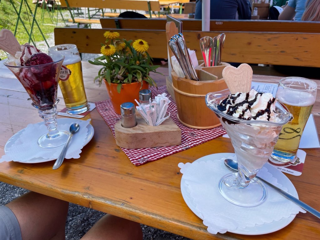


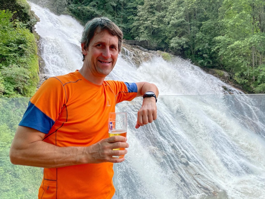
After a beer and ice cream in the mountain hut, we took the lifts back down, to save trudging down the long, winding track through the forest. This would also give us time to see the Bad Gastein and it’s famous waterfall.
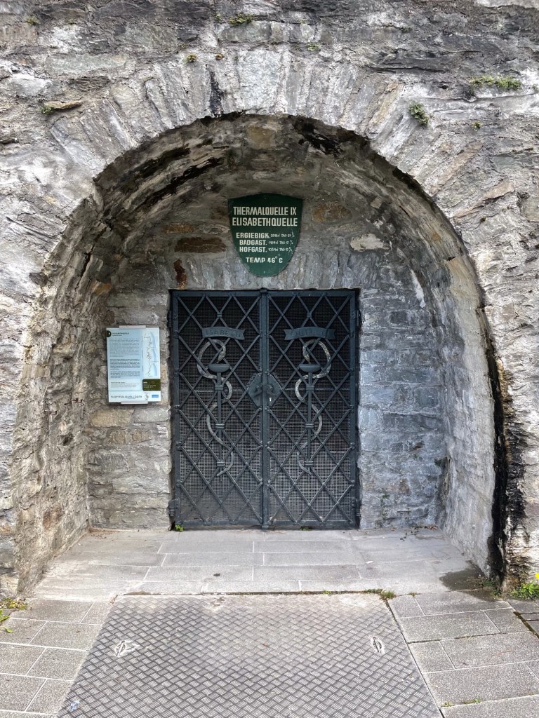
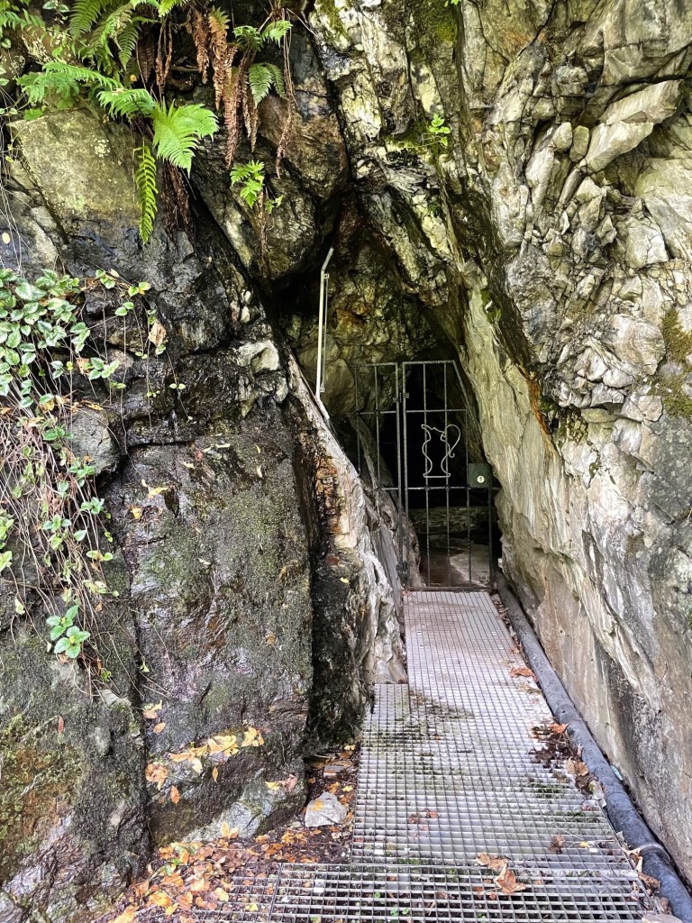
There are lots of radon-rich mineral springs in the town. We found some tucked away behind gates in the rock and it was amazing how hot the air was coming from them. Even the water in the fountains was warm… very odd!
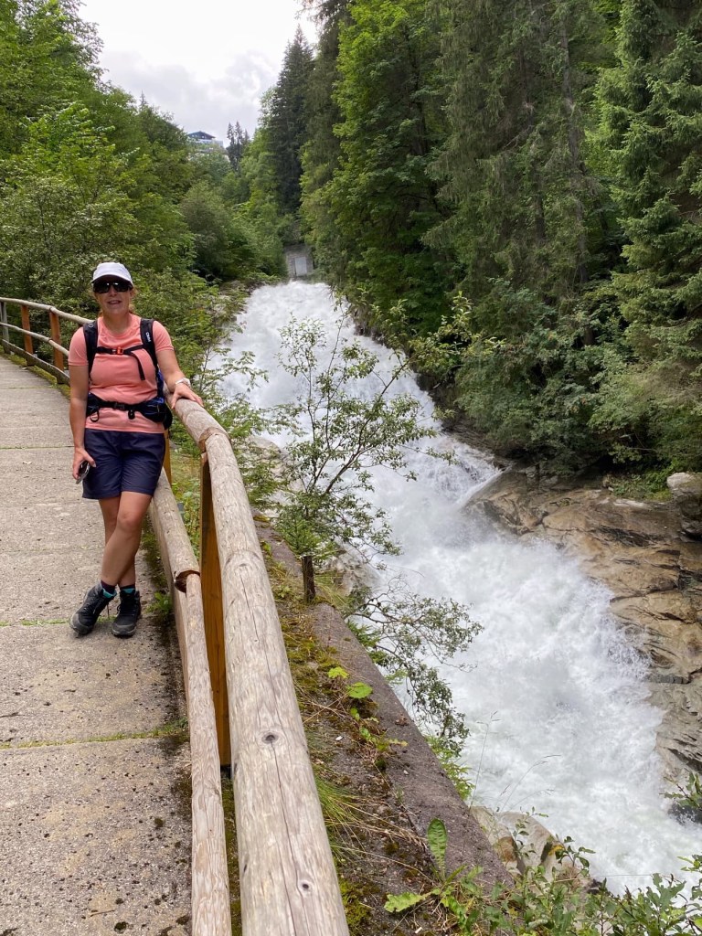
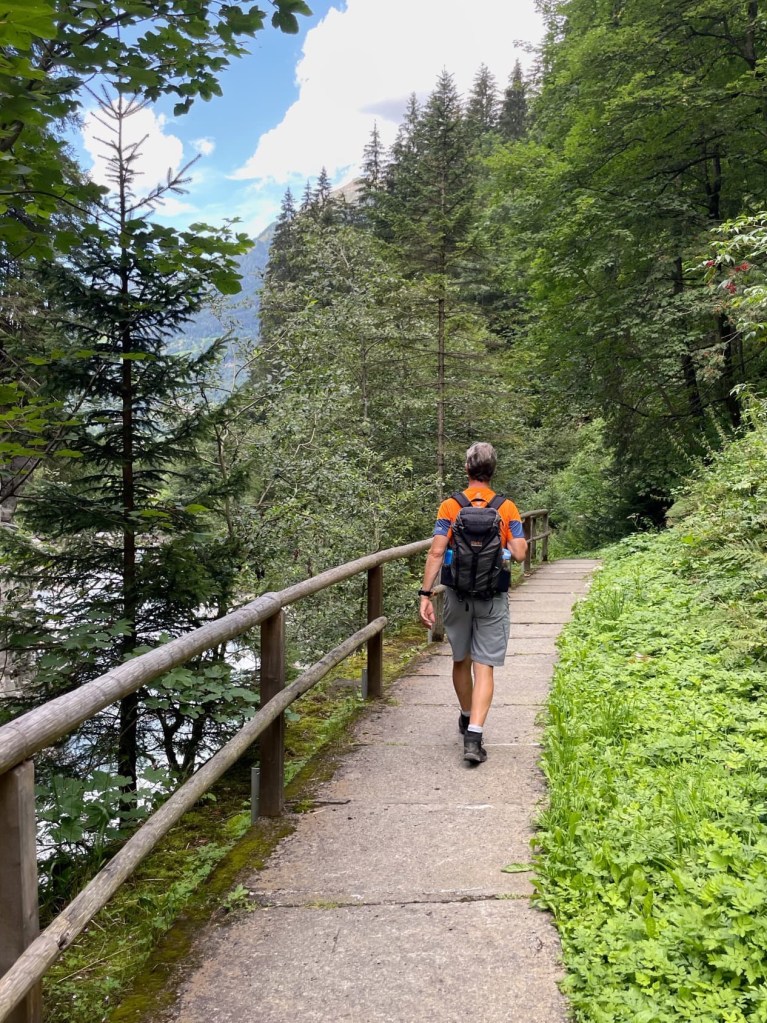
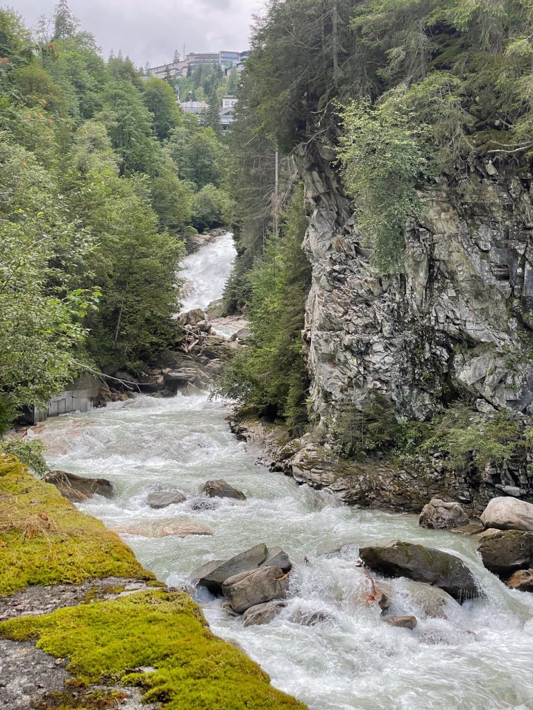
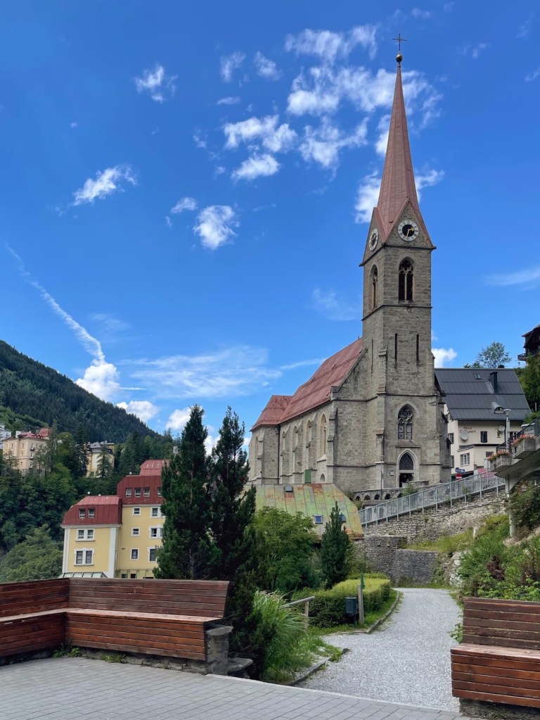
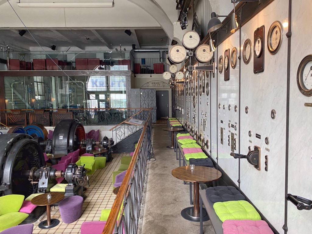
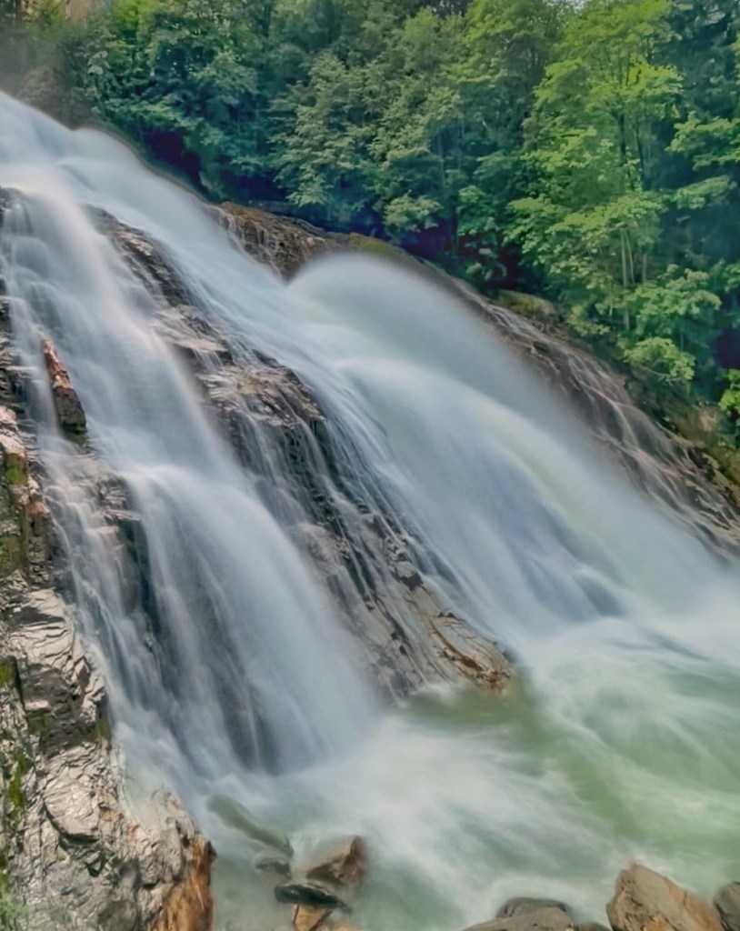
We then followed the waterfall path along the Gasteiner Ache, with a series of stunning falls in a steep gorge, before stopping at the Kraftwerk cafe. This was an old power station, with the bar inside the turbine room, right beside the largest waterfall… the perfect spot for a beer and Aperol spritz before we headed back to the campsite!

I would probably also have had a little melt down, I am not great with heights… Well done on tackling it anyway. The little town looks lovely!
LikeLike
From the comments on my Facebook page, I think lots of women are the same. We just don’t have the ‘brave’ hormones that most men seem to have!
LikeLike