
We had a shorter day today… just 11.6 kilometres… although the ascent was still almost 1000 metres. It’s been very warm but we set off early so I coped ok with most of the climbs.

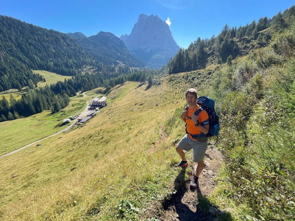
We left the Rifugio and followed the road before joining a forest track up to a farm. We then joined a rough path heading steeply uphill then across rough pasture.
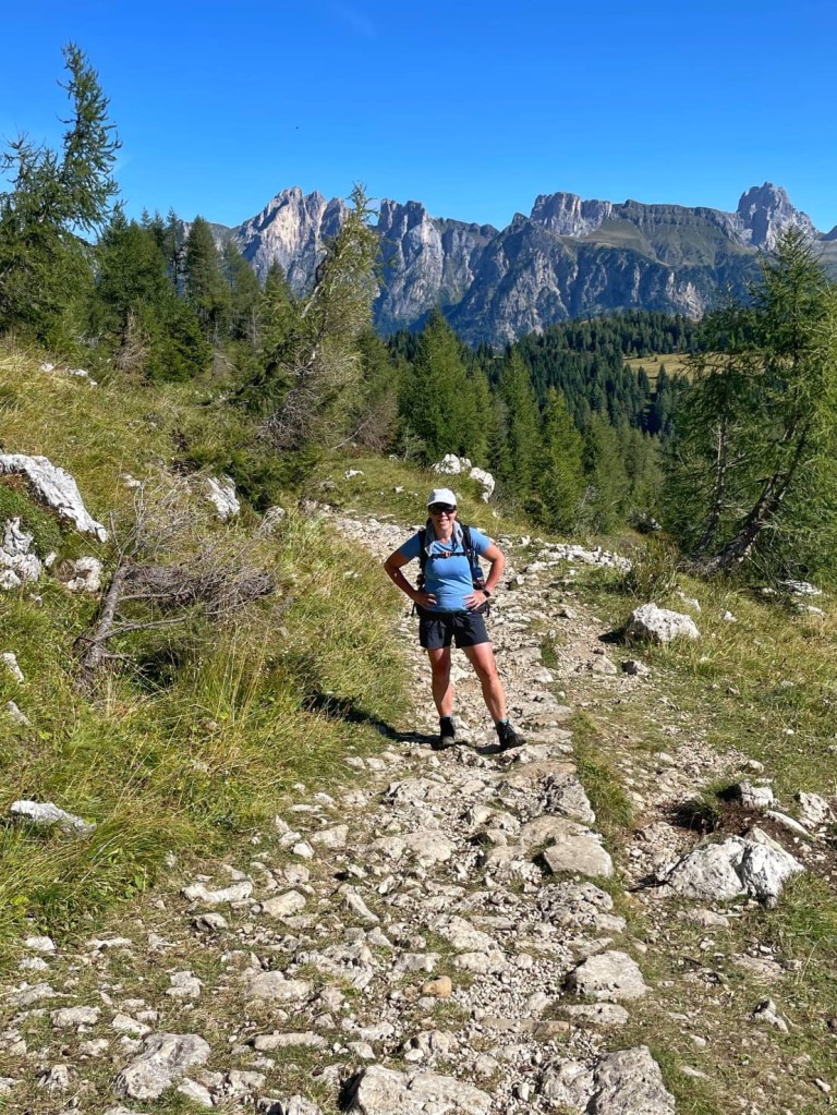

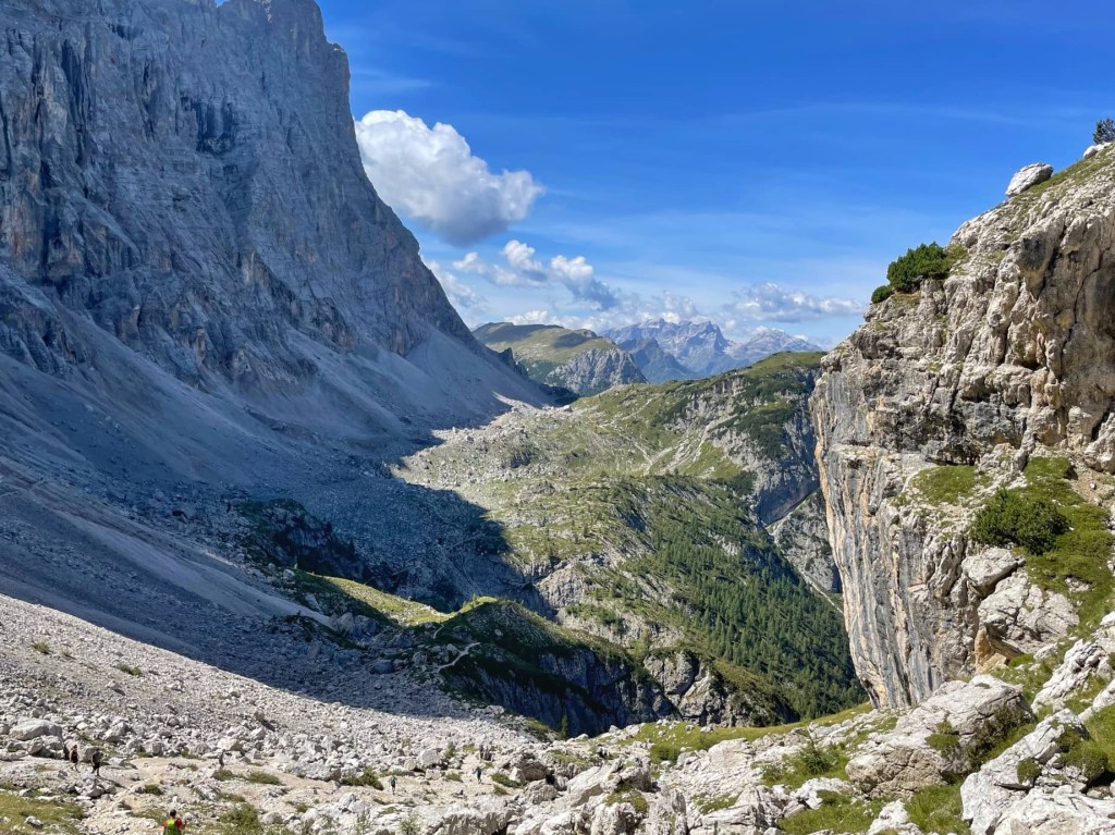
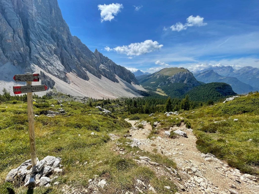
We gradually met more people as we joined a wartime mule track heading uphill, steadily zig zagging backwards and forwards.
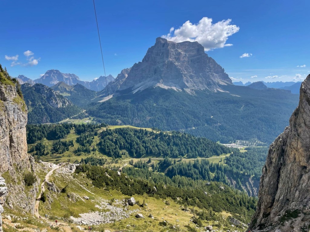
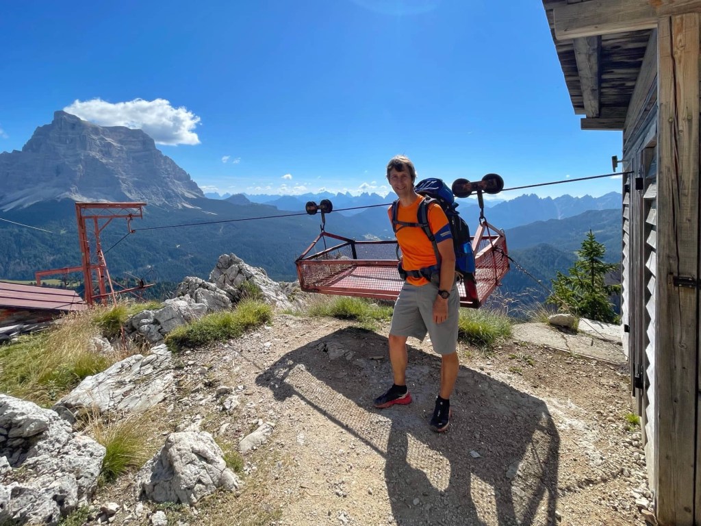
We finally reached a goods cableway then, soon afterwards, Rifugio Coldai (2132 metres). We stopped here for cake and a drink as we didn’t have a packed lunch.
Lago Coldai, a pretty green lake, was our next stop, not far from the Rifugio.

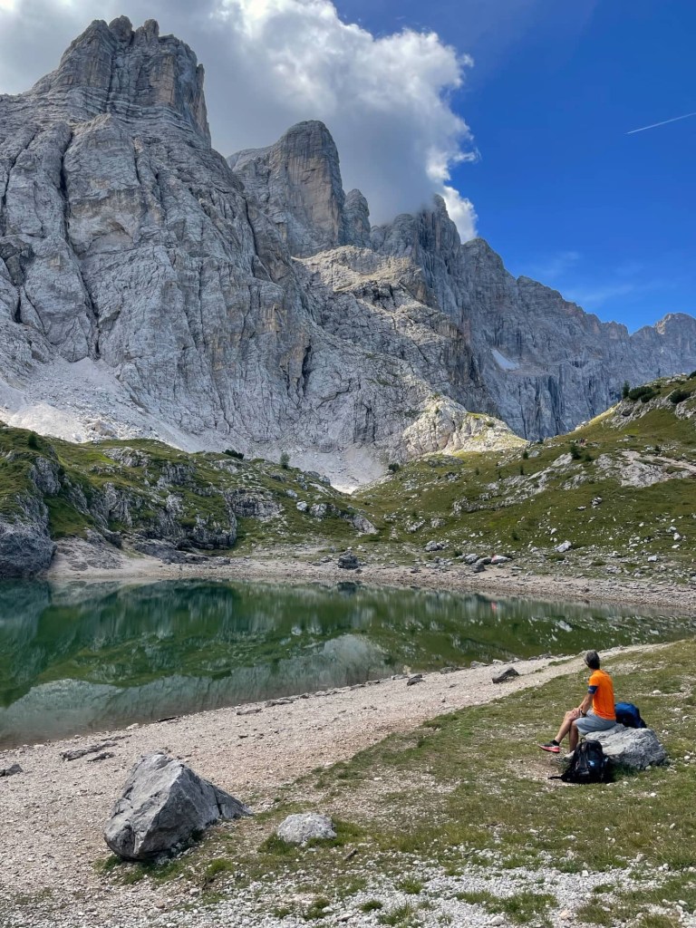
As we had a short day, we sat for a while, enjoying the view and the sunshine, before setting off again.


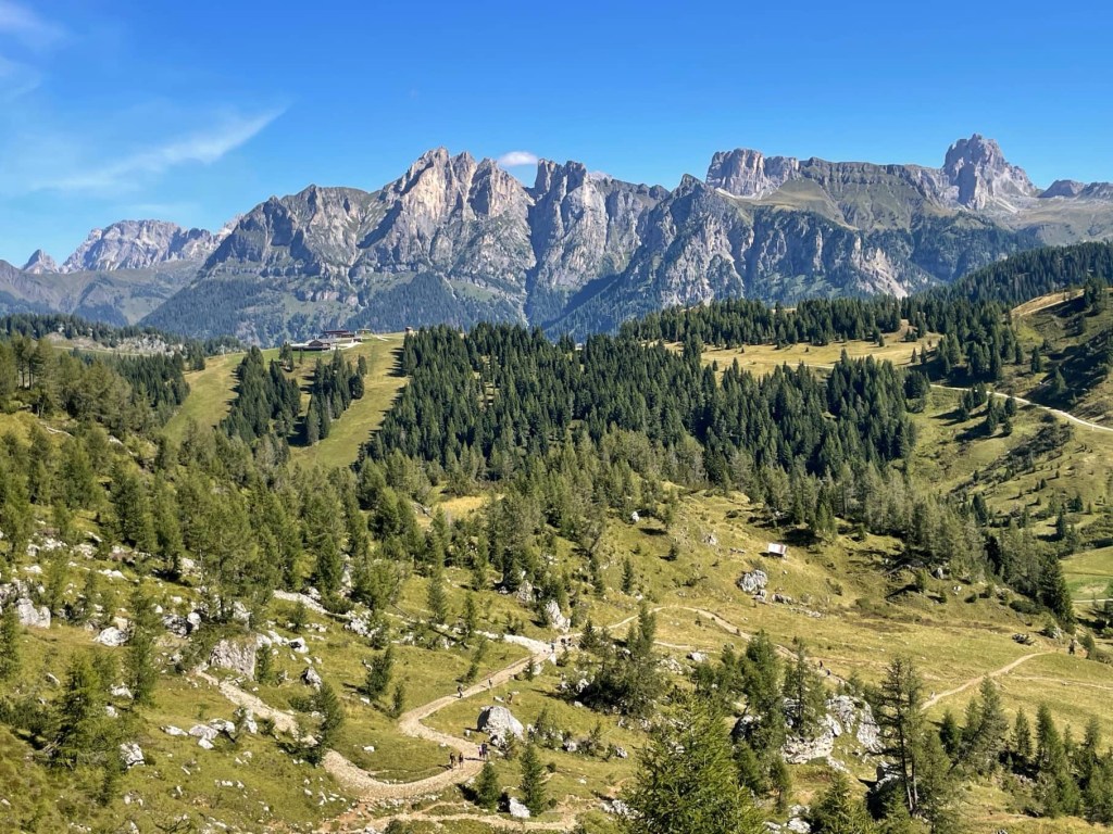
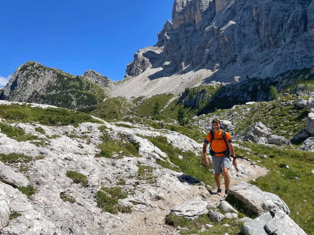
We then climbed to Forcella Col Negro (2203 metres) towards the steep towering walls of the Civetta mountains.
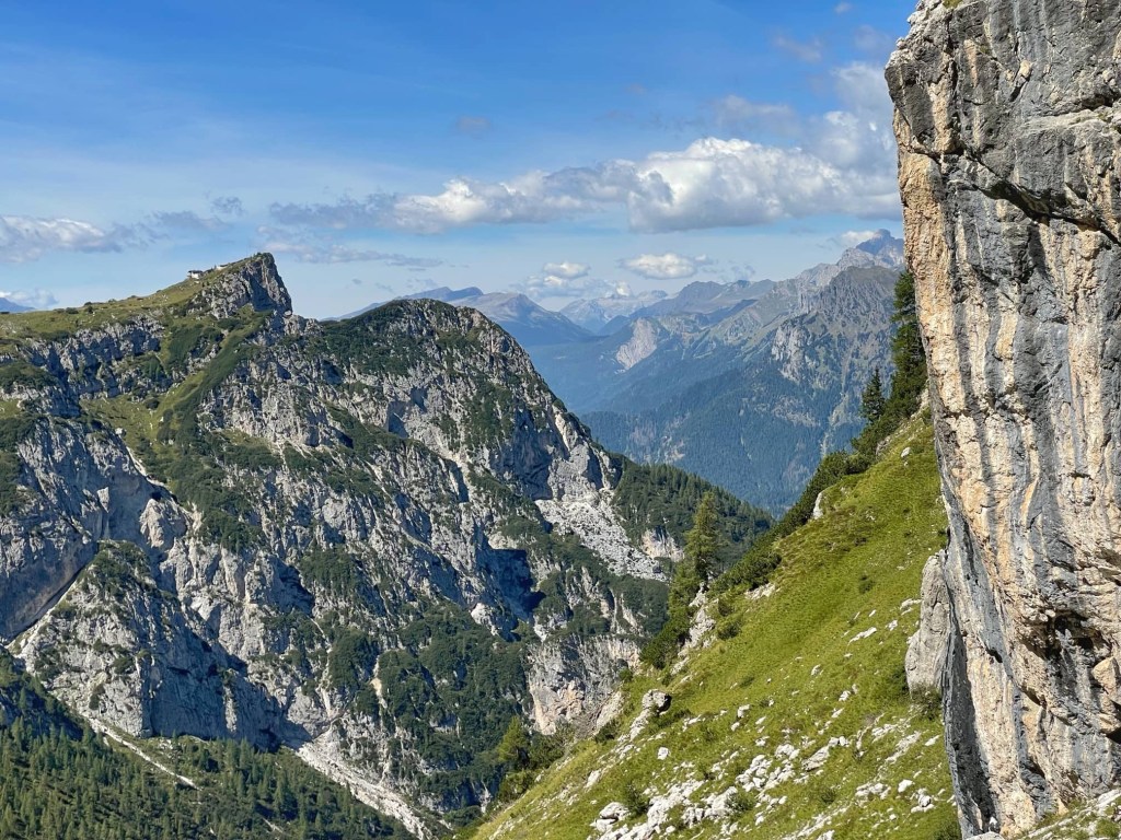
From here, it was downhill again, on a good path skirting the mountain. We could see Rifugio Tissi, where we’re staying tonight, perched on the edge of a peak ahead of us, with a steep drop to the valley behind it. Alleghe and it’s green lake, which we passed on our bus ride a couple of days ago, were far below us.
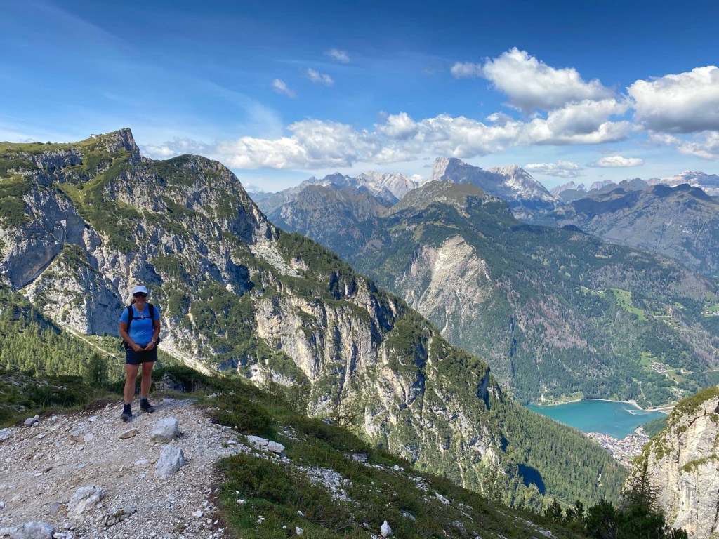
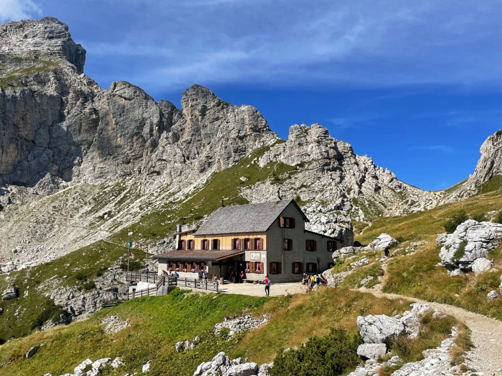
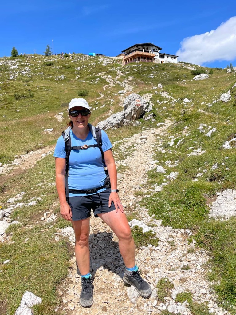
Before long, we headed uphill again to Rifugio Tissi (2250 metres). It was quite hot by now, and the path was steep and rough but, with plenty of rest stops, we reached the top, Cima du Col Rean, within 30 minutes.
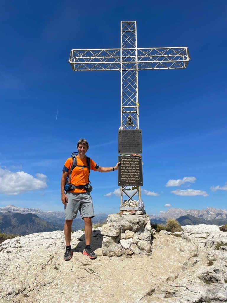
After taking pictures at the cross, we had lunch and beers before checking in.
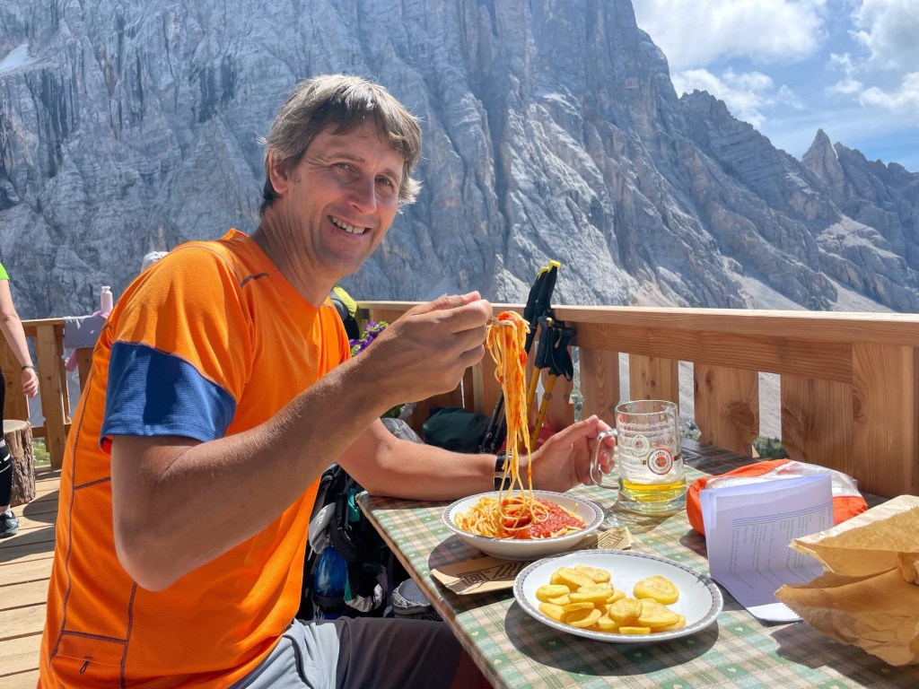
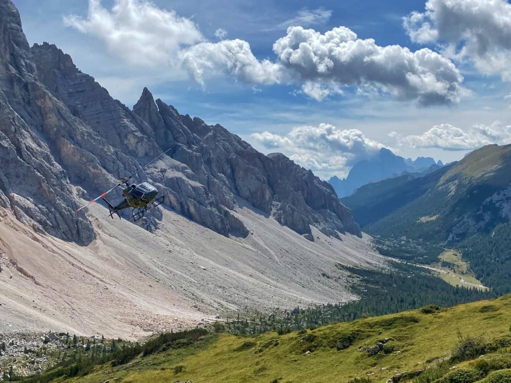
John had trouble eating his spaghetti without a knife, and we were buzzed by a helicopter flying low above the refuge. It was lovely sitting enjoying the sunshine.
We’re sharing a room with two German doctors tonight, who we chatted to over dinner. When he paid the bill, and said he was Welsh, John got chatting to the refuge manager about rugby!

Wow, you certainly have gained some elevation there! The views are spectacular! Just a question – are these trails well marked, do you follow a map, or a GPS track? I know in our neck of the woods, you almost need a guide, or someone who just knows the hikes well, to make sure you’re on the right tracks.
LikeLiked by 1 person
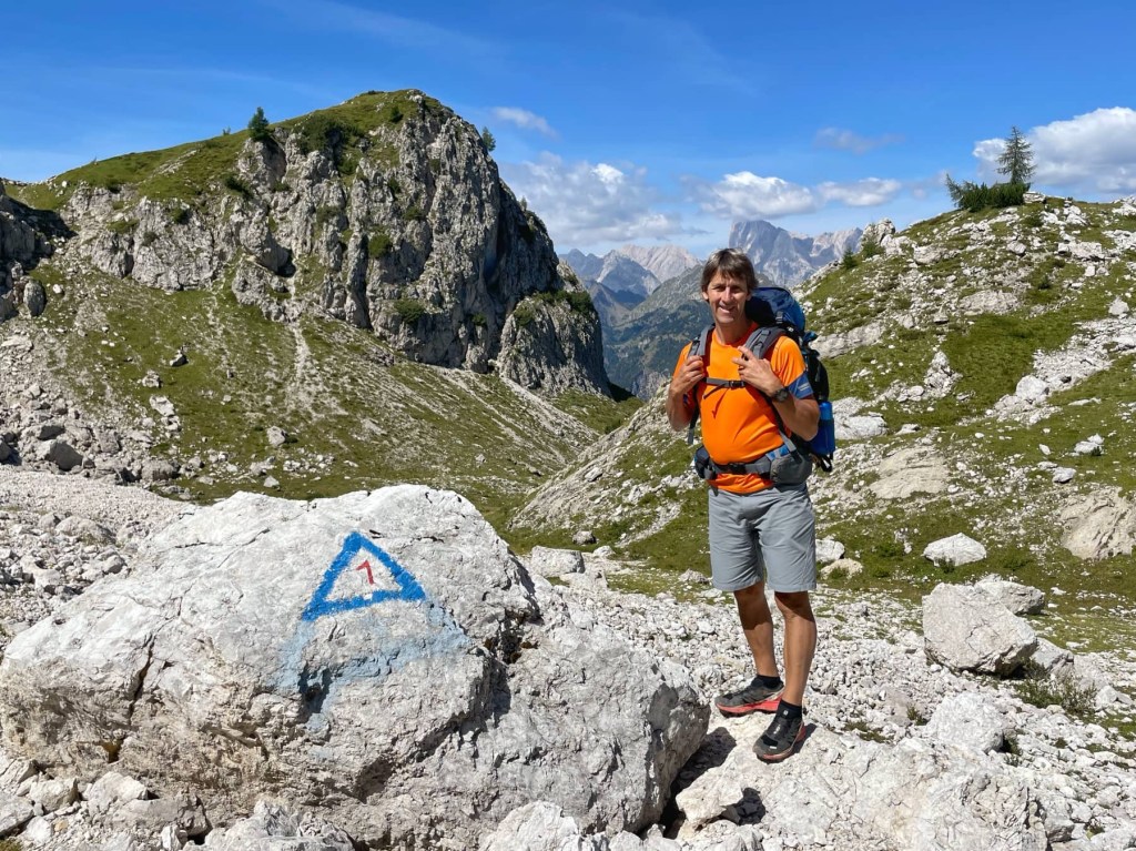
Hello. The trails haven’t been as well marked as others we’ve done in France. The first few days were relatively poorly marked although there were more marks along the trail on the last few days… red and white stripes or a 1 in a blue triangle… and there were also signposts at major junctions. Most people were using guidebooks to navigate and I didn’t hear of anyone getting lost. You definitely don’t need a guide. Hope that helps 😊
LikeLike