
What a great day’s walking! Very long and the second half was very difficult but it was just stunning! Our best day so far, with our biggest ascent (1200 metres) and just as much descent.
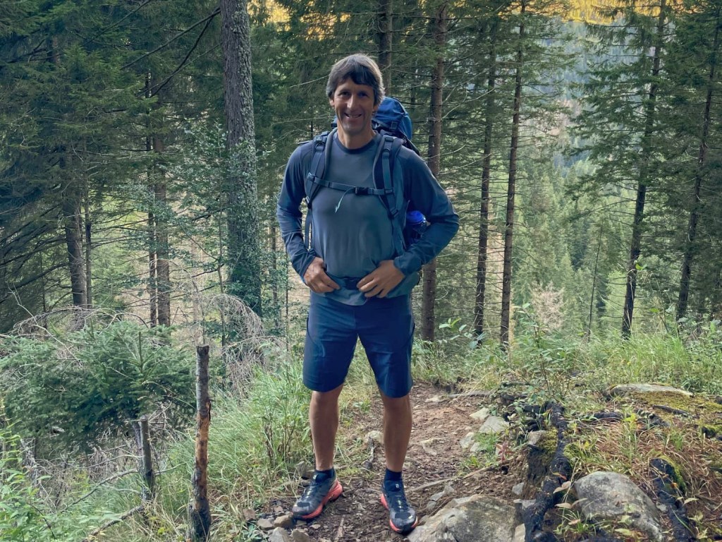
It was a beautiful morning and we set off very early to try and get as much of the hike done as possible before it got too hot. We set off down the road from the refuge before turning off onto a steep path through the forest up to Forcella Dagarei (1620 metres).
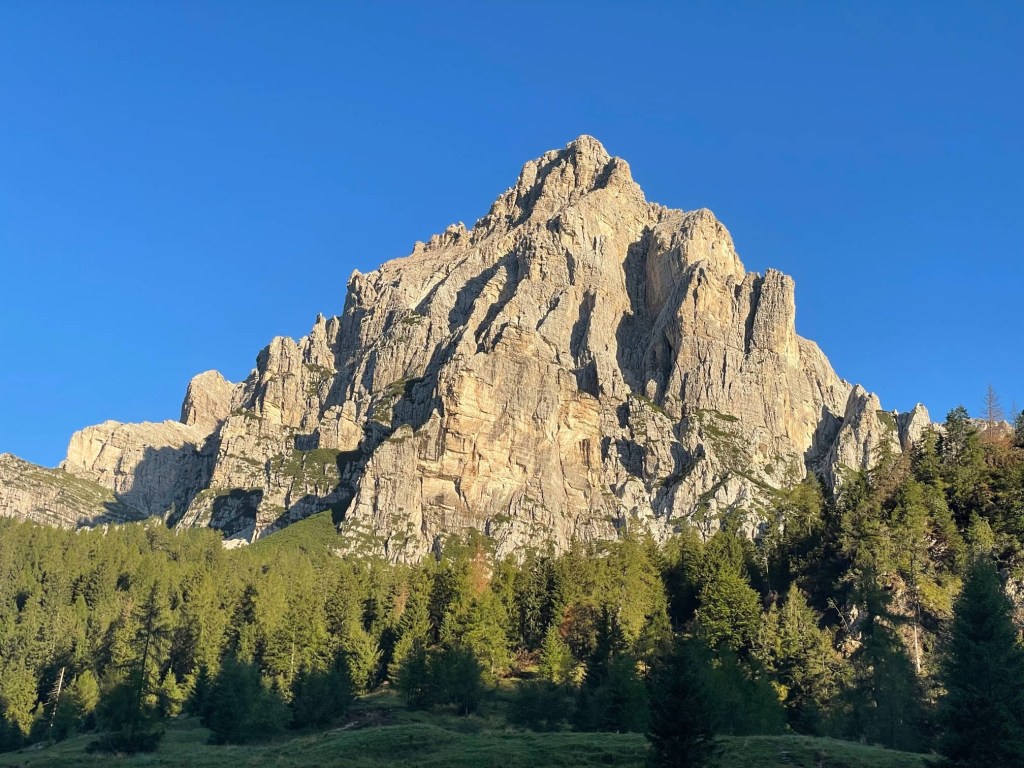
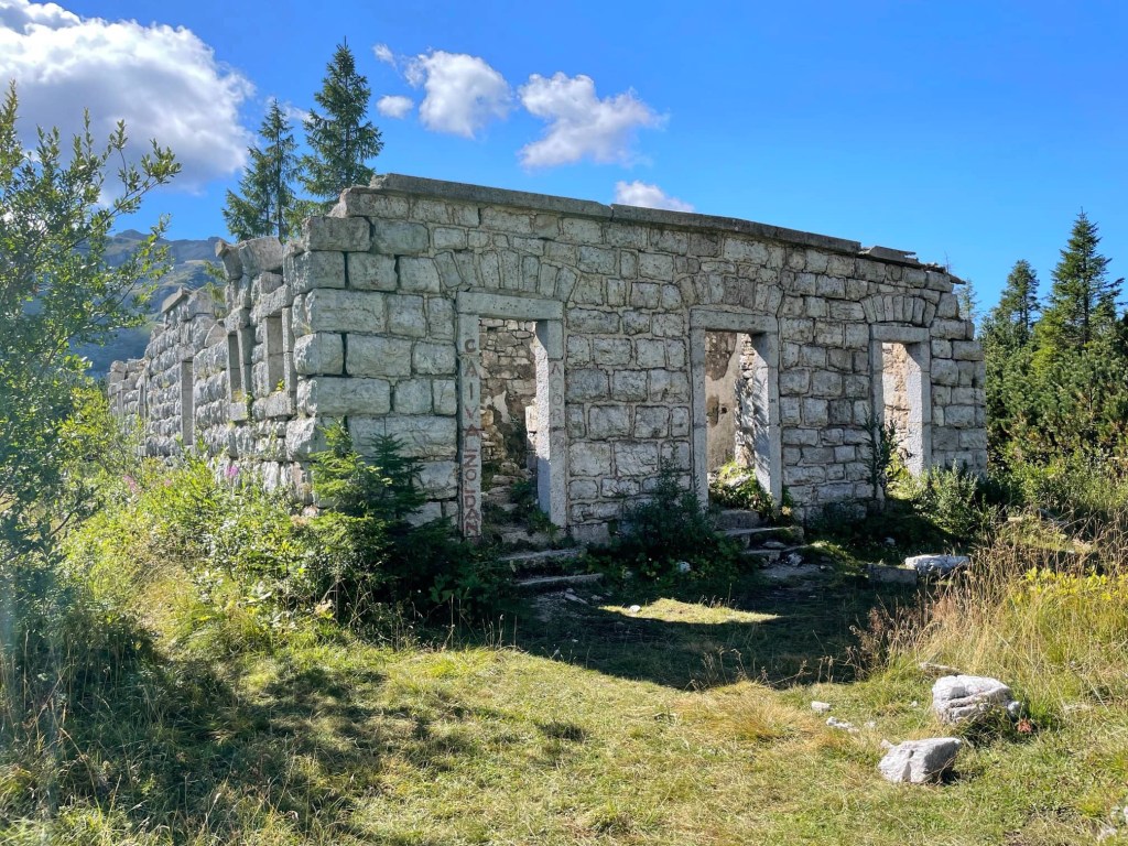
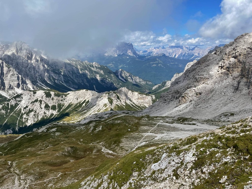
Before long, we emerged from the cool, dark tree cover onto white scree covered by dwarf pines. The views were amazing as the path continued to undulate around the mountains, gradually gaining height, continuing to alternate between forest and open terrain. After some steep sections, we eventually reached Forcella del Moschesin (1940 metres) where there were some abandoned barracks from World War 1.

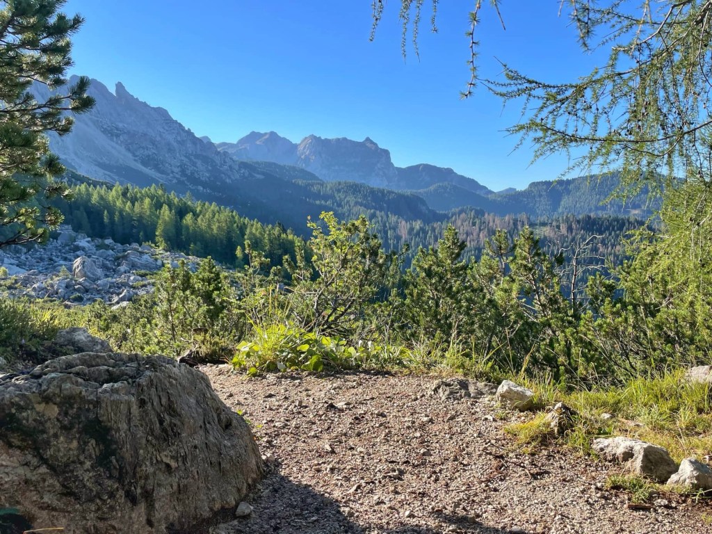
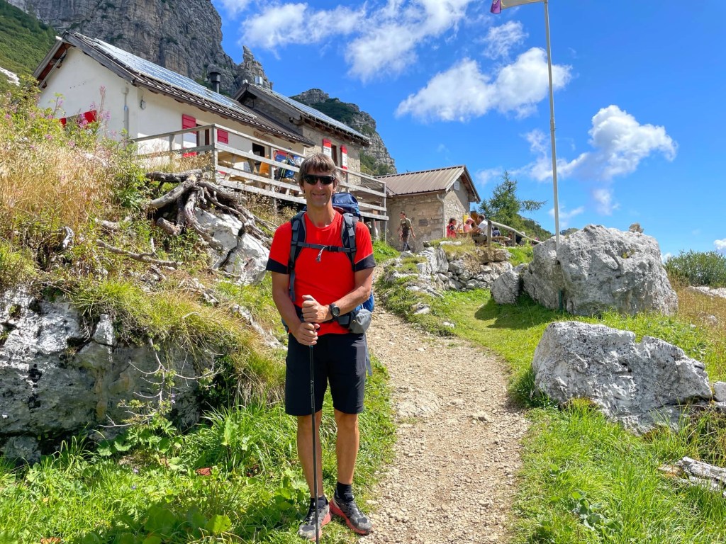
From here we followed a panoramic route with more magnificent views of a different valley to Rifugio Pramperet (1857 metres). We had hoped to have lunch here but we were too early and just had 2 pieces of cake each instead!
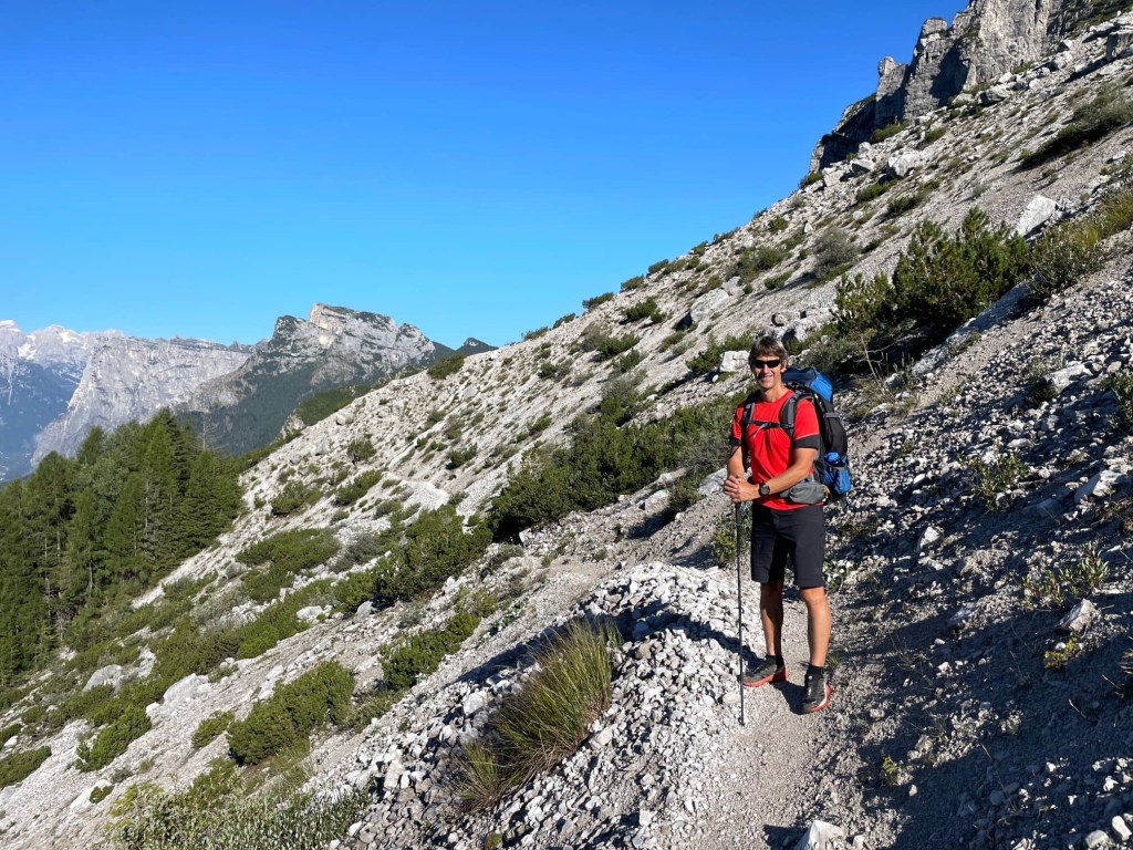
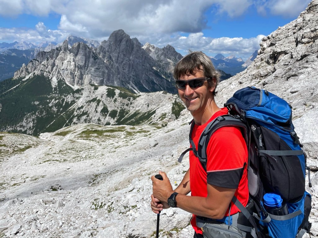
We then had to retrace our steps for 10 minutes before starting the most difficult ascent of the day. The guidebook gave a warning about exposed sections so we were a bit apprehensive. It was also very hot by now, especially as there was no longer any tree cover. Thankfully, the path wasn’t too tricky and, although there were some sections where we needed to clamber over the rocks, these were interspersed with flatter sections where we could just plod.
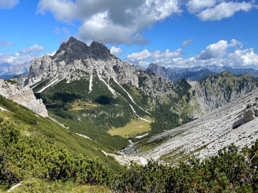
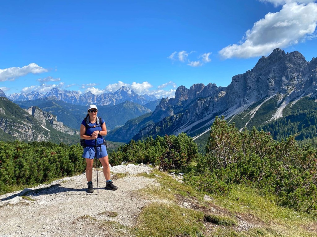
The vegetation gradually thinned out and disappeared and the path became rockier, crossing limestone slabs. We followed the cairns higher and higher, and the view opened up and got better and better.

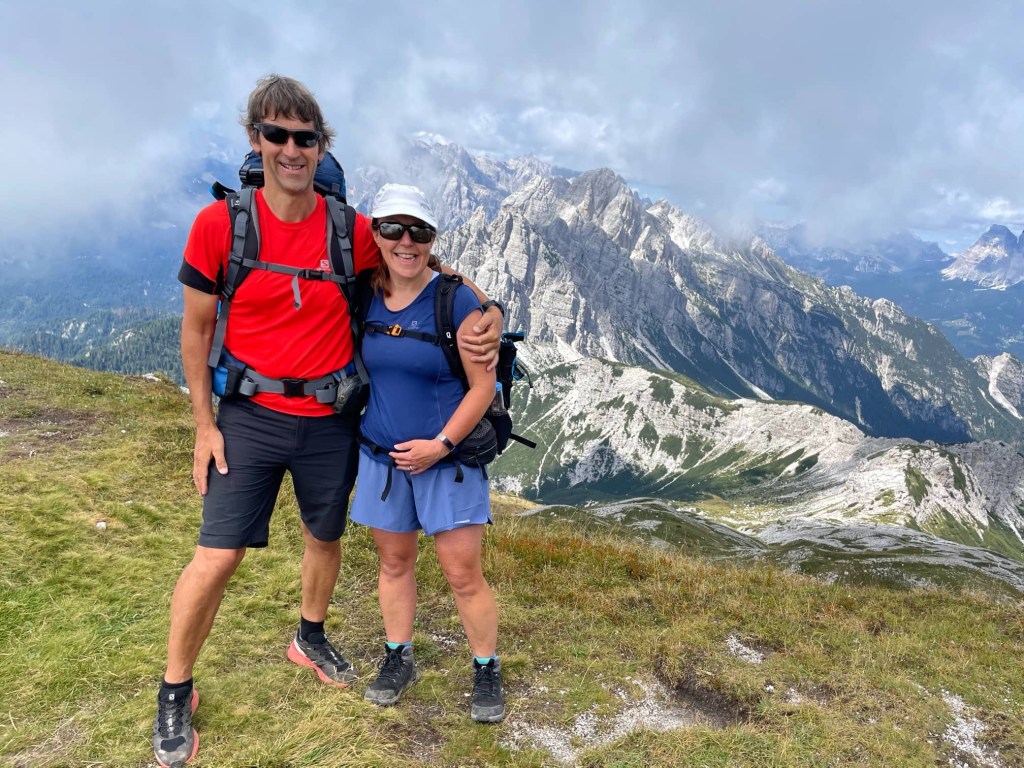
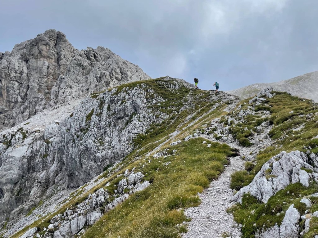
Finally we reached the steep zig zags to the ridge, Forcella de Zita Sud (2351 metres), the highest point of the day. The far side of it plunged to the valley below and we sat and had a snack while enjoying the 360 degree views.

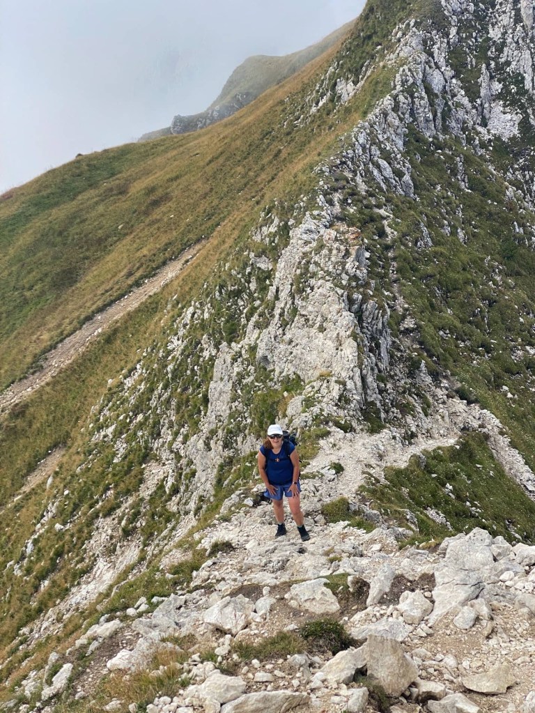
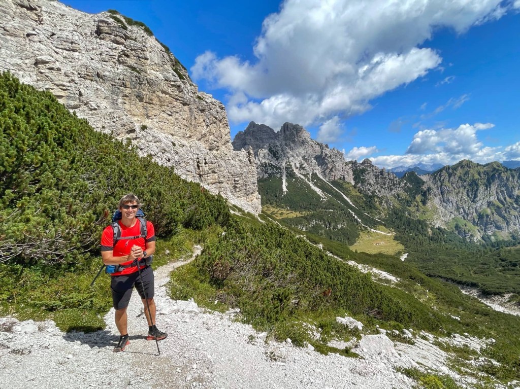
Next came the exposed ridge that the book talked about. We watched another couple climb it and both decided that it didn’t look too bad… they were just walking up it, rather than having to use their hands. When our turn came, although we did both use our hands at times, we agreed that the book had exaggerated the exposure. We spent some time on the grassy terrace on top, enjoying our achievements so far.
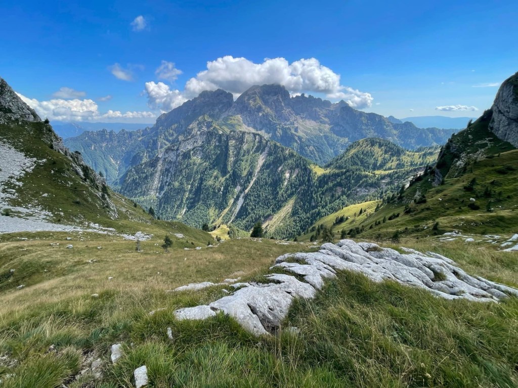
After following the ridge for a while, the path started to descend through beautiful limestone scenery. It was quite rocky and we were glad of our poles, but it wasn’t too difficult yet.
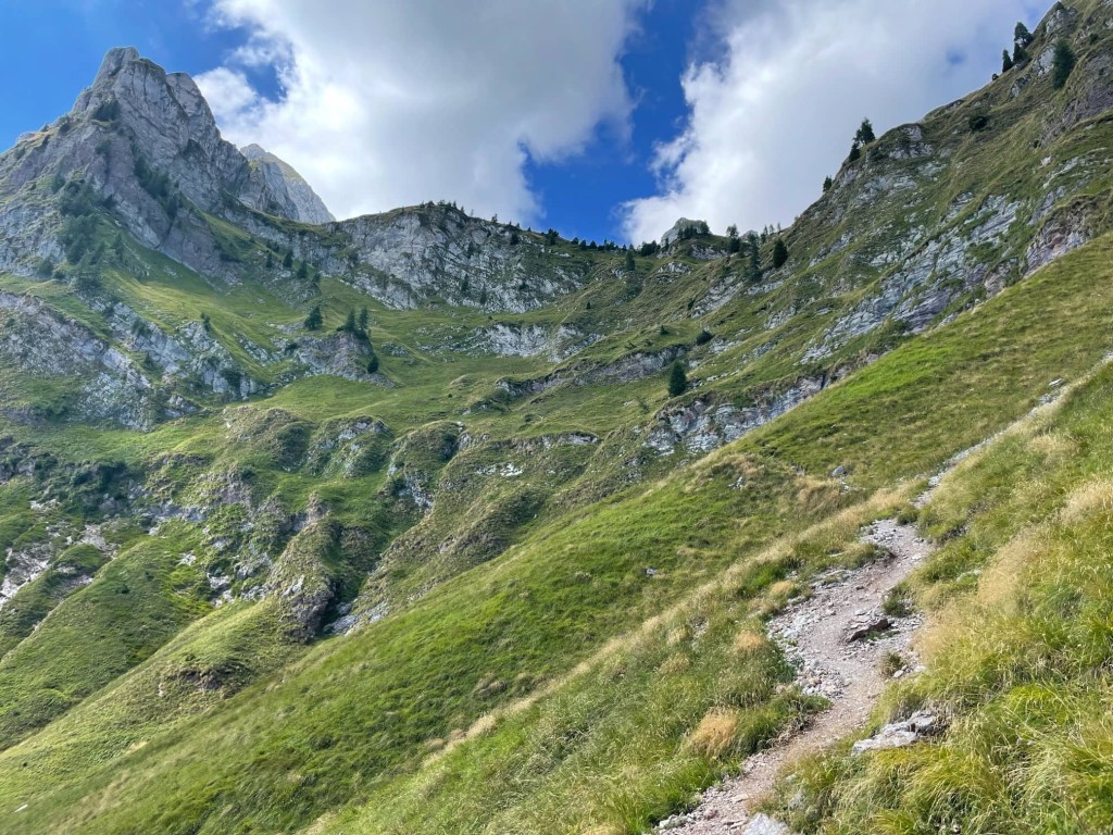
That was to change and, once we were back down at about 2000 metres, a sign warned that the path was steep and difficult… not that we had any choice but to do it! By now, we’d been walking for over 5 hours and my legs were getting tired.

The path was narrow and steep, zig zagging backwards and forwards down the mountainside. It wasn’t smooth at all, but constantly rocky and I kept using my poles to take some of my weight and help me climb down the huge steps. Sometimes we’d slip on loose rocks and scree, which didn’t help. By now my knees were hurting and I was grumpy, but John kept encouraging me. The sight of the refuge far below us (1632 metres) also helped, although it seemed to take hours to get there!

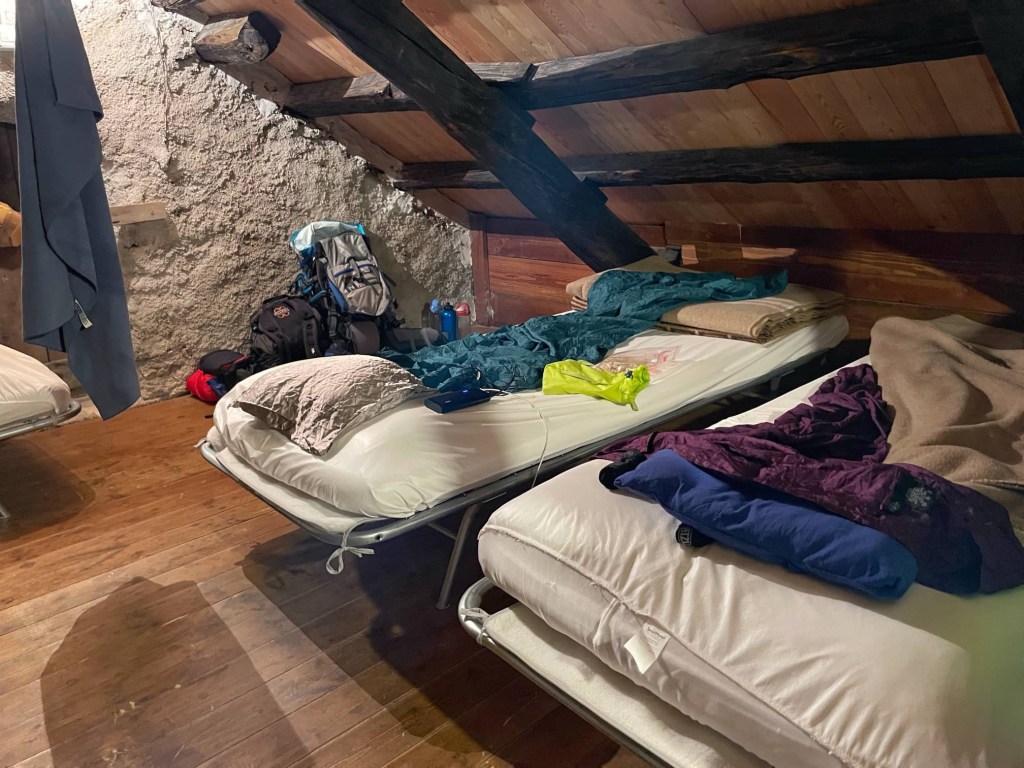
Finally we got there, checked in and chose our beds and had a very large, cold beer. The refuge was in a beautiful spot, surrounded by beautiful meadows full of flowers, butterflies and birds. John chose beds in the eaves, which we had to ourselves, with plenty of space for our kit, unlike the people crowded in the bunk beds in the room below. once again, we had a lovely evening, meeting new people over dinner, before having a very early night. I think I was asleep by 9!
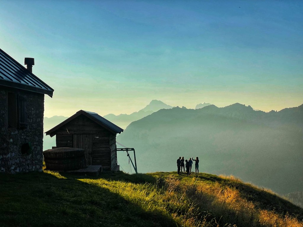

Oh wow, that last picture – how beautiful!
LikeLike