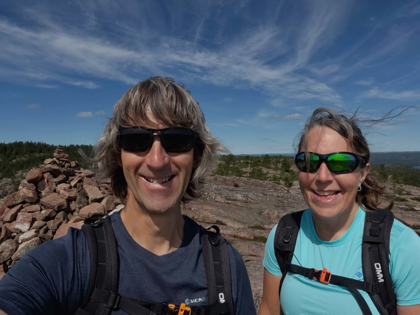
We’ve had a fantastic 10-mile walk today, seeing the sites in the national park. The land here is rising at the rate of around one metre every 100 years. This is because, in the ice age, the land was compressed by a heavy ice sheet and, when the ice melted, the land began to rise again. The geology was fascinating.
We rode the scooter to the start of the trailhead, 7 minutes away, rather than moving Molly Moho. Then we stowed our helmets and set off through the forest, following the trail marked with orange dots to the high point in the National Park, Stättdalsberget.
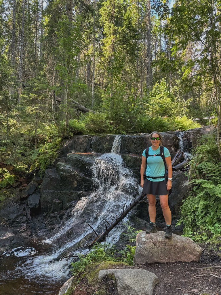
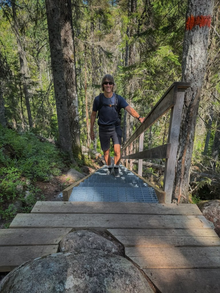
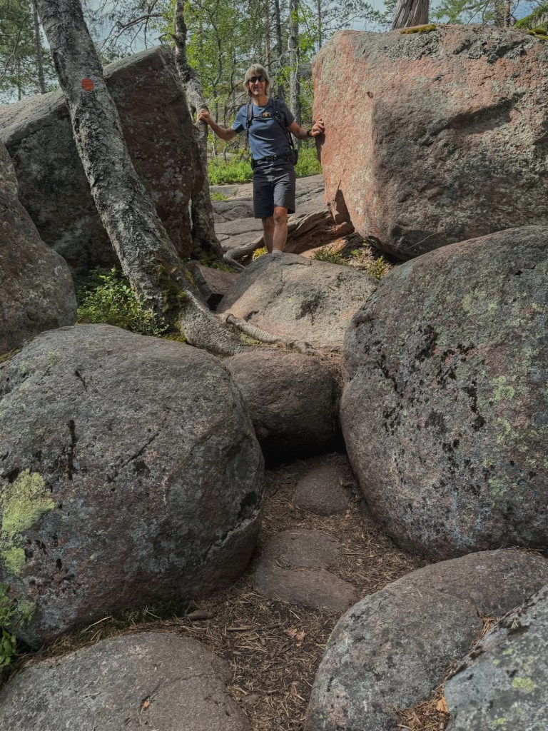
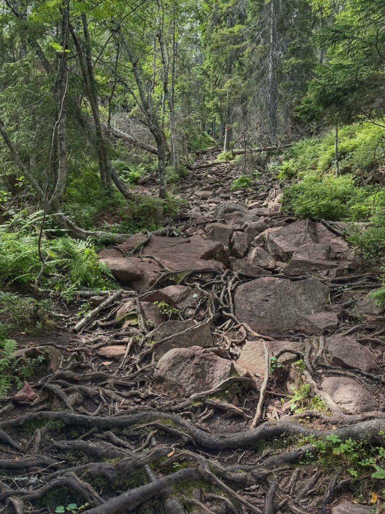
When the ice retreated, Slättdalsberget was left as a long shallow ridge. Stones were washed and sorted by the waves, polished and left behind as cobble fields. Those cobble field made walking hard work, as did all the exposed tree roots in the shallow soil! Thankfully, there were ladders and board walks to help in the trickiest places!
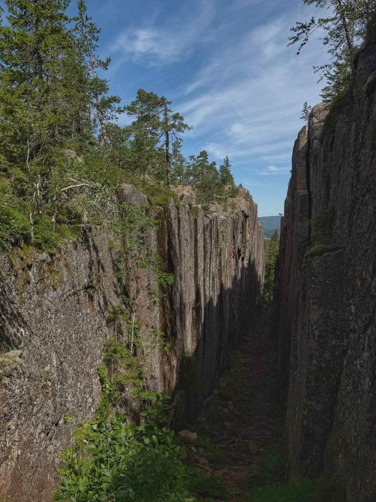
The main attraction on the hike was Slåttdalsskrevan, which is a huge crevice formed 1,200 million years ago when molten magma pushed through cracks in the granite bedrock. The crevice is 200 metres long, 7 metres wide and 30 metres deep and splits the ridge of Slåttdalsberget in two.
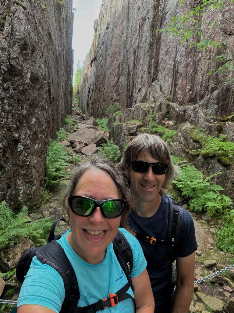
We’d begun our hike at the north entrance to the park, so we came to the north end of the crevice first. Unfortunately, it isn’t considered safe to walk through. It was very impressive just viewing it from the end though.
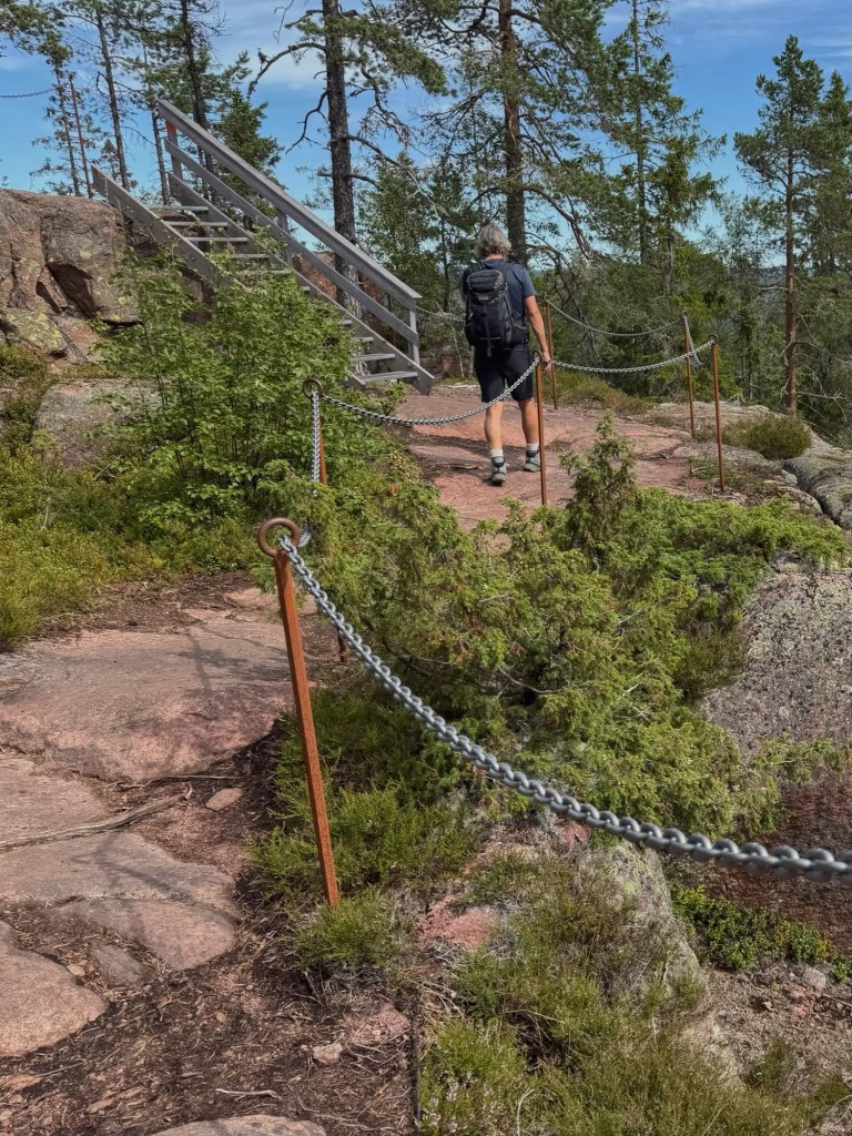
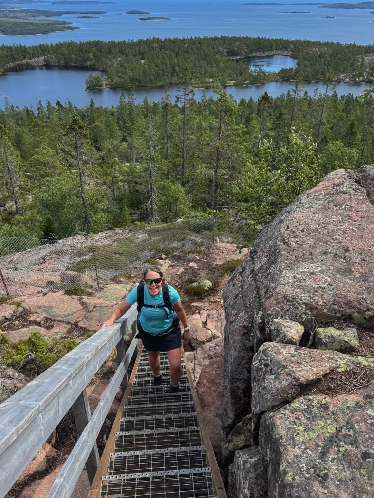
After this we continued uphill, stopping at a viewpoint to have lunch. The views of the coast and islands in the sea were lovely, and the green lichen looked very pretty on the pink granite. The rocks were lovely and smooth… very comfortable to sit on!
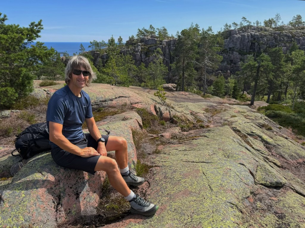
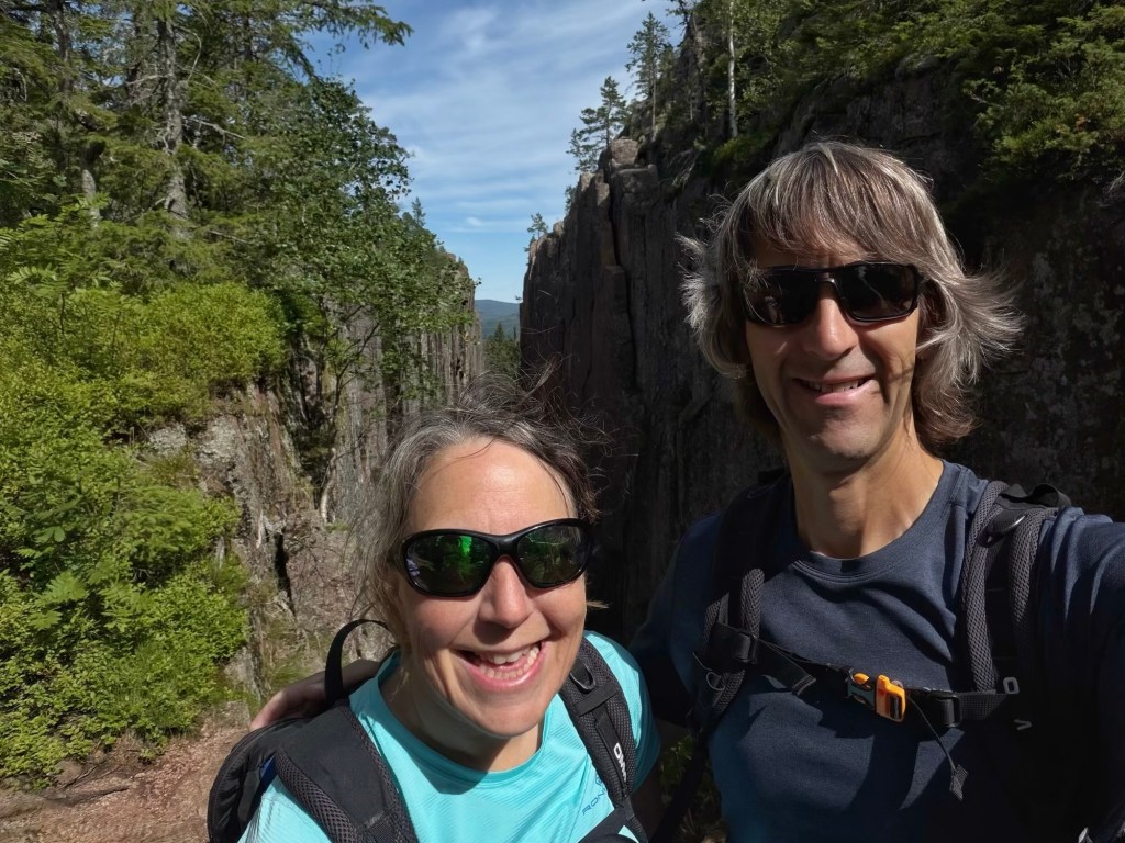
Our next stop was the southern end of Slåttdalsskrevan, and we looked through the crevice and down towards the northern end where we’d stood earlier. Bright green ferns grew at the bottom, and short stubby trees and bushes on top.
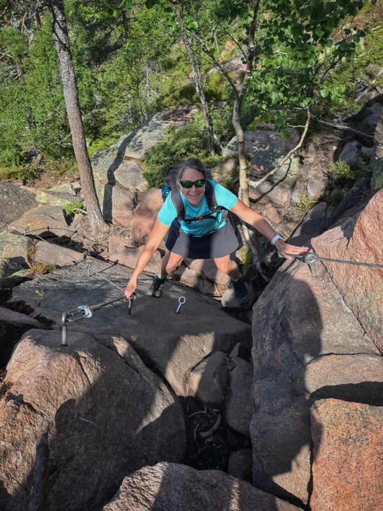
Next we had a steep section to climb to the top of Slåttdalsberget, protected by cables screwed into the rock… very handy to haul myself up when my little legs struggled to reach the next foothold!
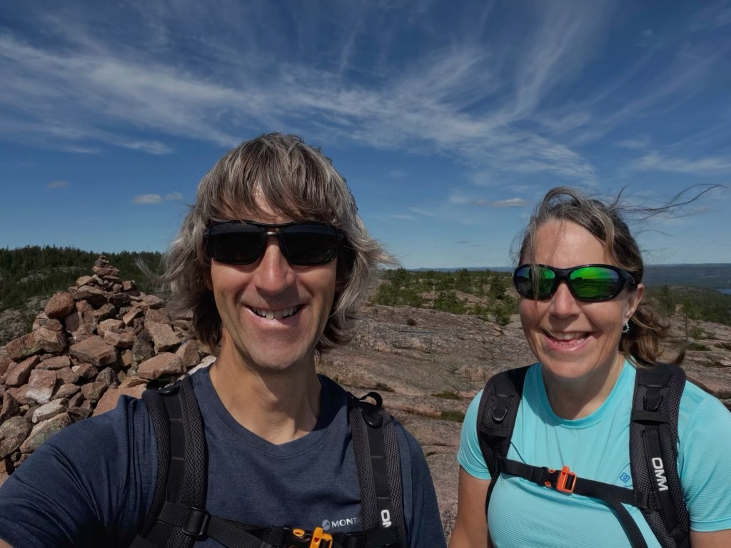
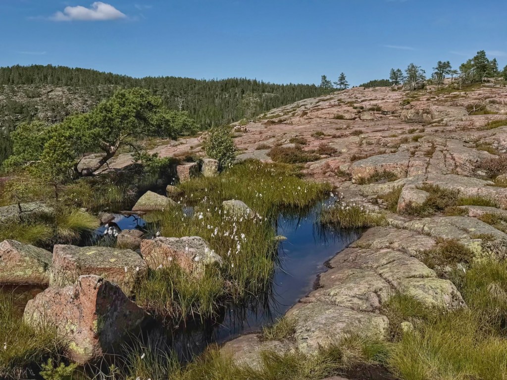
We soon reached the large summit cairn, once again admiring the views and the unusual landscape. Then we made our way back down to the coast following small cairns and blue dots on the rocks and trees.
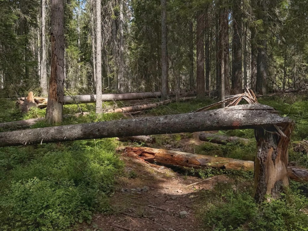
One section of path was like an obstacle course. There were a lot of fallen trees that we had to climb over or walk around. Thankfully, we were soon back at the coast, although we were still only half way through the walk.
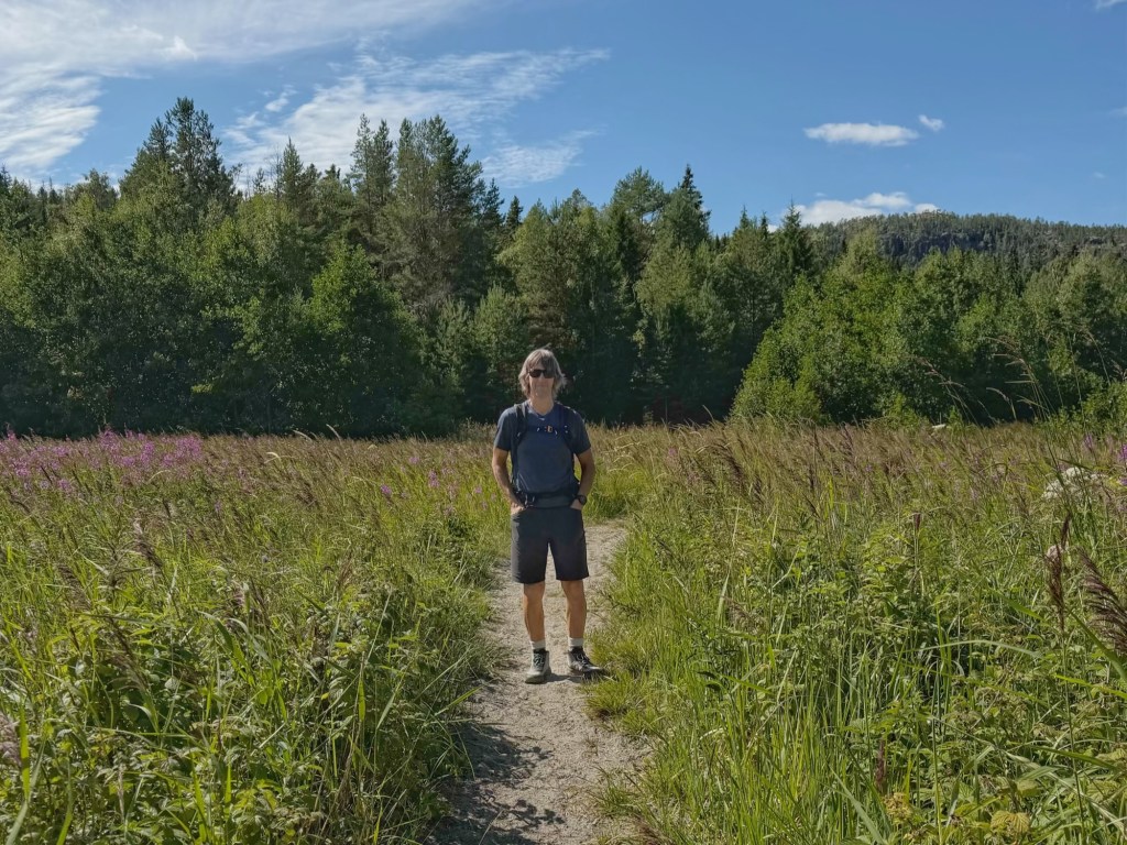
The return leg was on a rough forest path, following orange dots again. There were still a lot of boulders and roots to negotiate and, after a while, it got a bit tedious… and looking at nothing but trees got boring!
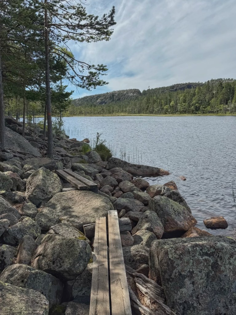
We were glad of glimpses of the coast and the sound of waves lapping at the shore. About two thirds of the way back we took a short detour to Tärnätholmarna, which used to be an island but is now linked to the mainland by a causeway because the land rose.
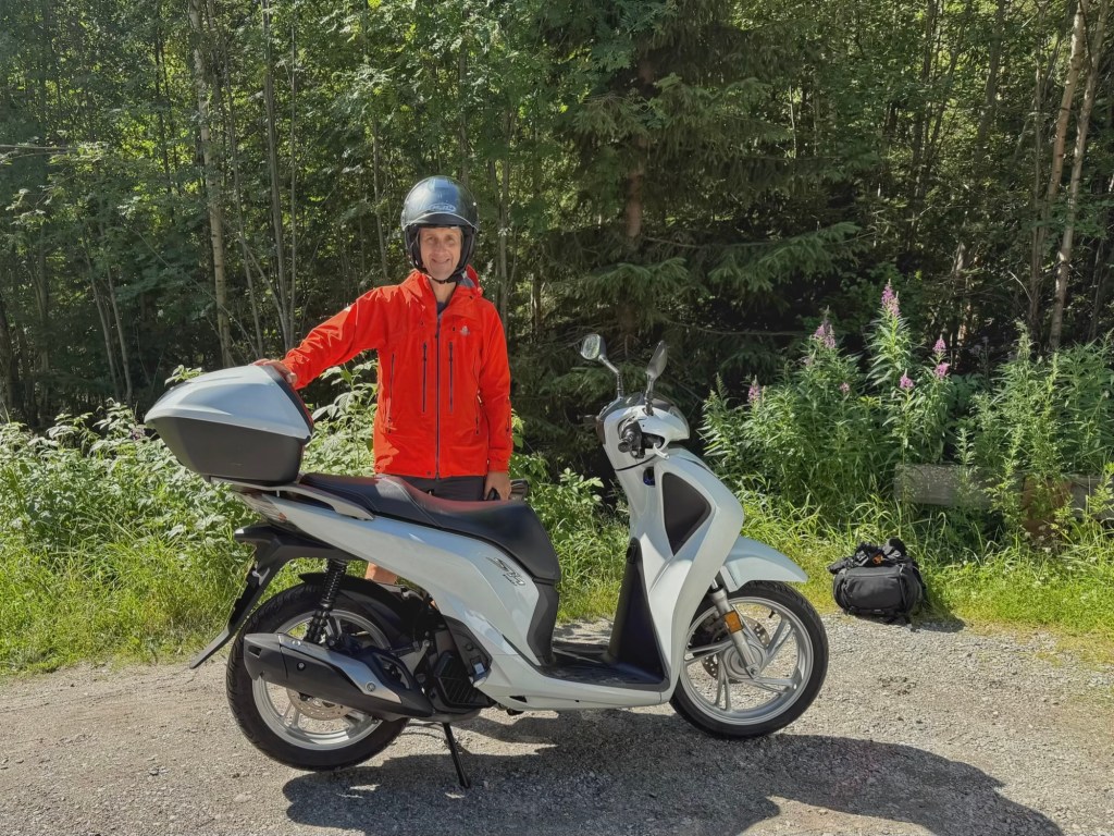
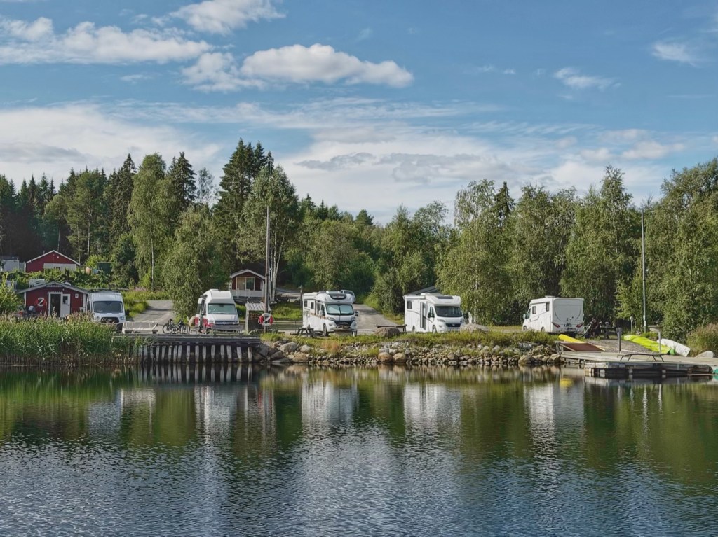
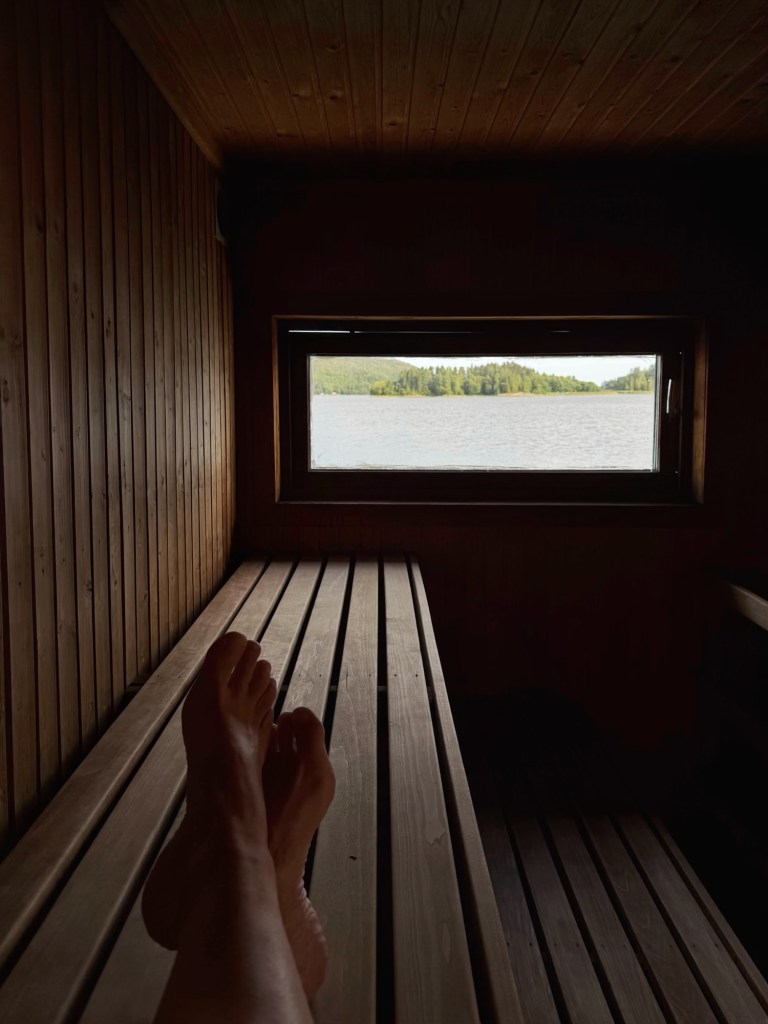
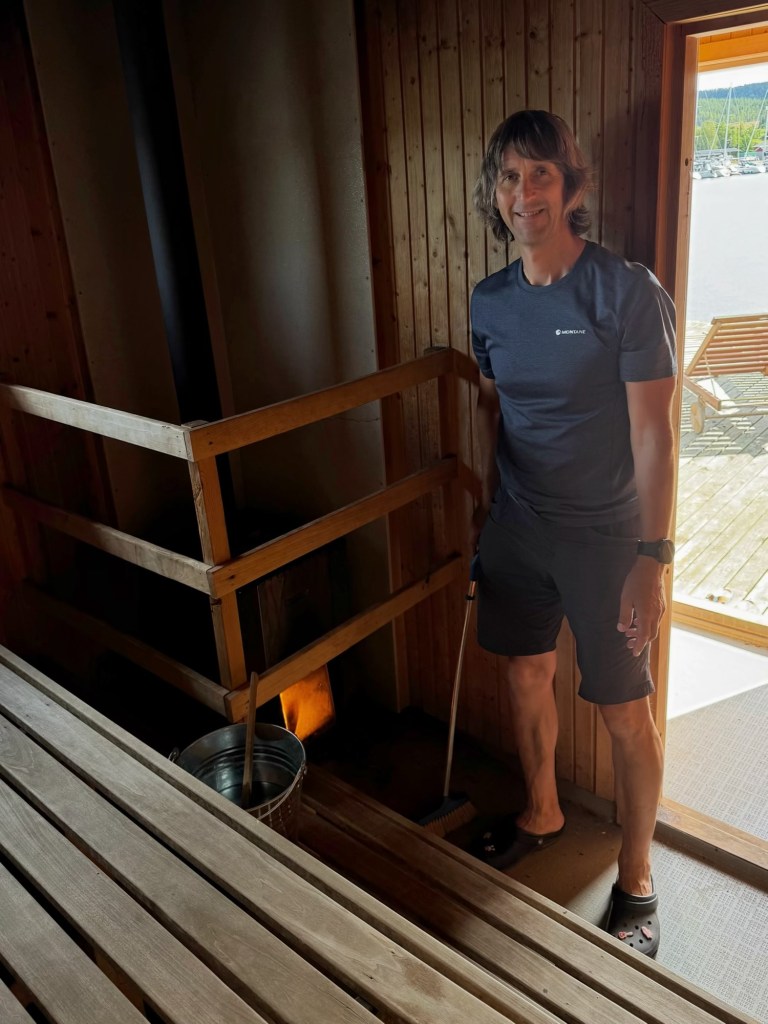
Finally, we arrived back at Scoot (as John’s christened the scooter) and returned to Molly at the aire. It was a fantastic walk in beautiful sunshine and we decided the day would be rounded off perfectly with a sauna and a swim. John lit the fire in the sauna and we had it to ourselves. Wonderful!


Wow … and it really was a shame you weren’t able to walk through the crevice. It would have been an amazing experience
LikeLiked by 1 person
It would, but better not to risk falling rocks 🤭
LikeLike
Agreed
LikeLike