
Today we hiked the Dronningruta, which owes its name to Norway’s Queen Sonja who enjoys hiking in the Vesterålen. The 10 mile route was voted Norway’s most beautiful hike in 2012, and we certainly enjoyed it.
The scenery changes throughout the hike, keeping it interesting. It has everything from steep mountains and scrambles to flat plateaus, rocky and sandy beaches, boardwalks over bog, and quaint fishing villages. The terrain underfoot was almost always difficult, but the changing panoramic views around the loop, kept us going.

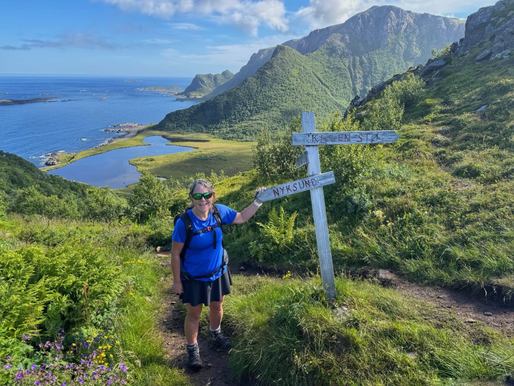
We left Molly Moho at around 8.30 and set off uphill almost immediately. The marked path took us up to a broad ridge overlooking the coast and a string of lakes, before dropping down to Nyksundkaret Col. There was a signpost here, which we’d have to climb back up to on our way back in order to circumvent the mountain of Mælen. I wasn’t looking forward to that at the end of the day!
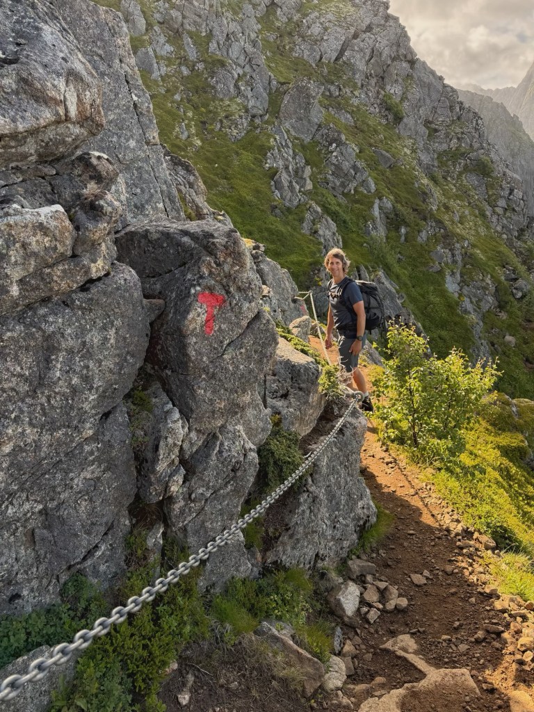

From the col, we followed a narrower ridge, scrambling at times, but not needing to use the cables and ropes alongside the path for protection. We came to a high plateau where John used an app to identify a bird with a strange call as a European Golden Plover.
The views really opened out as we climbed higher and passed over Finngamheia (448 metres), with sea, lakes and mountains in every direction. There was cloud swirling around the mountain tops, which was very pretty.
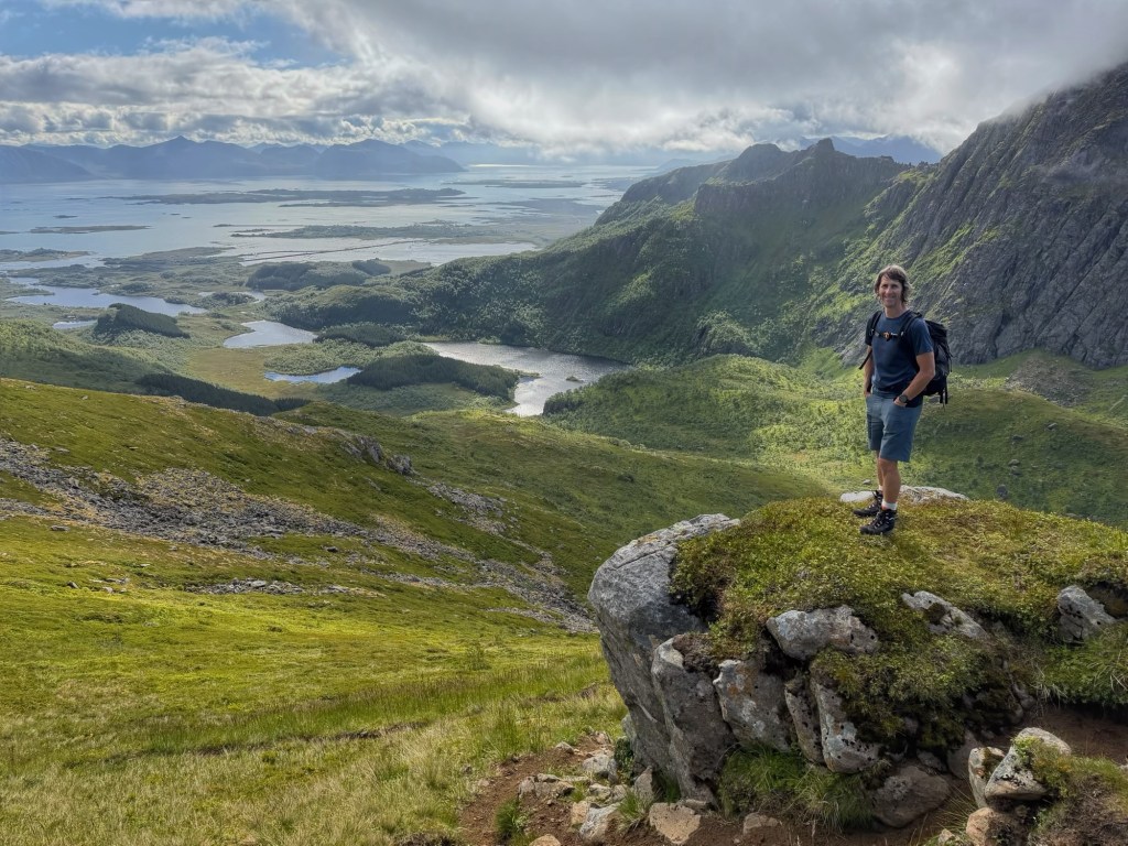
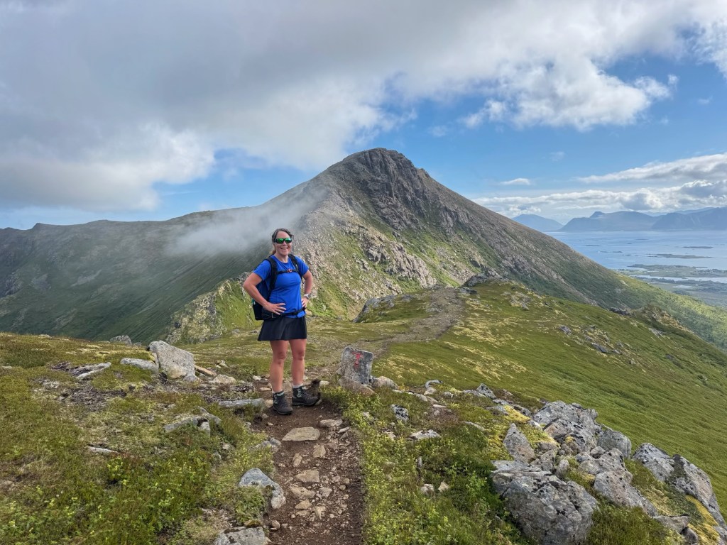
The marked trail circumvents the mountain of Sorkulen (518 metres), but we decided to go over it. This involved a little scrambling and crossing boulder fields, but nothing too difficult and we reached the top at around 11 o’clock.

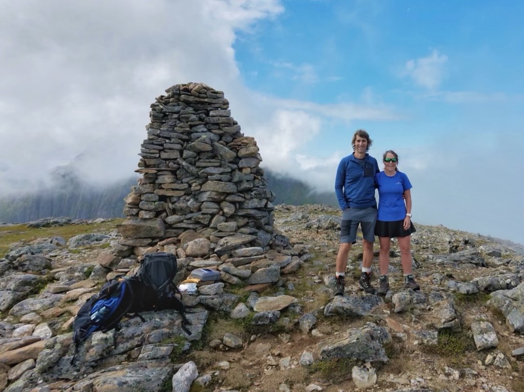
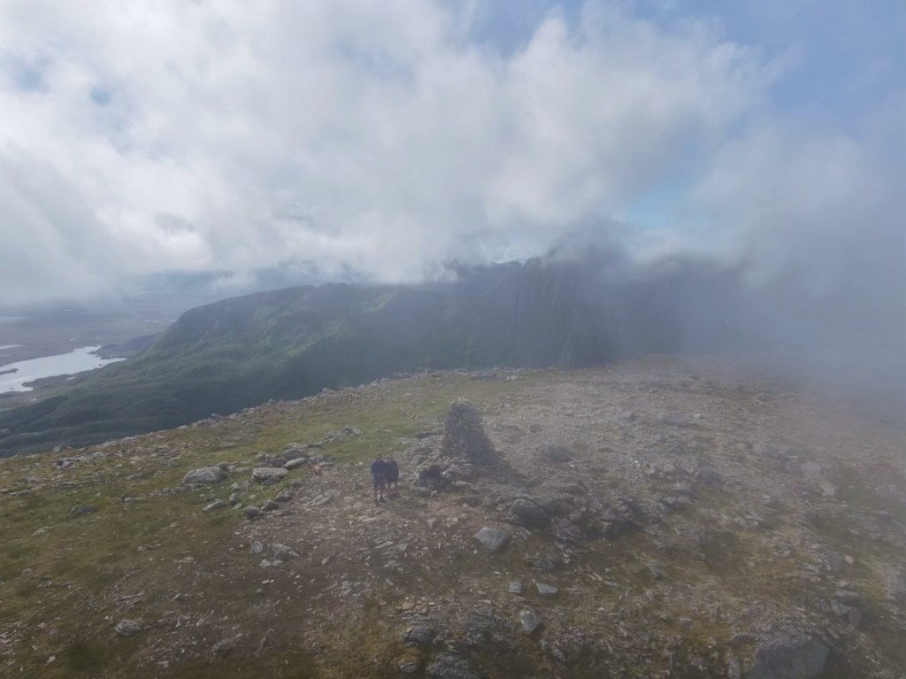
We had a drink and a snack and John flew Dave the Drone. While we were standing around, the low cloud crept over us. Dave wasn’t impressed… it seemed to confuse him, so John called him back and we continued onwards.

The trail meandered up and down over the mountain ridge for a few more kilometres, taking in Kjølen (456 metres). Although none of the mountains are high, we managed to rack up 1100 metres of ascent today!

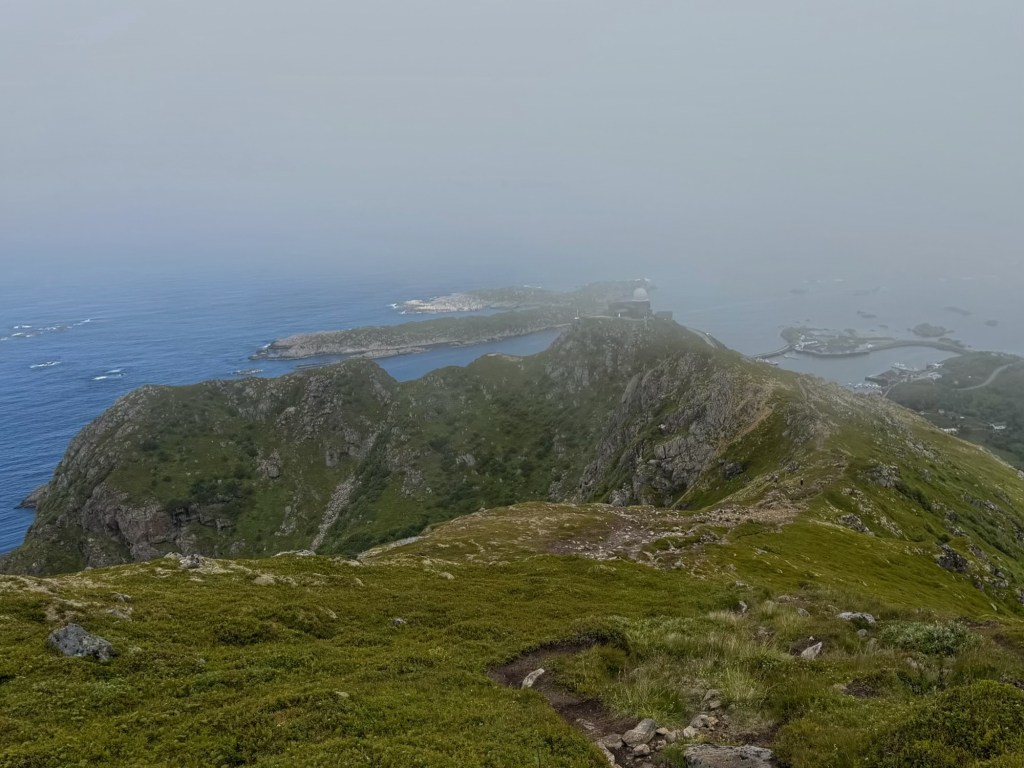
This part of the walk was shrouded in thick cloud and the views were non existent. After seeing more plovers, the sky began to clear, then we began our long, steep descent to the fishing village of Stø.
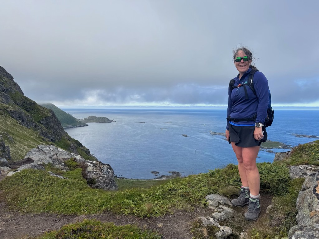
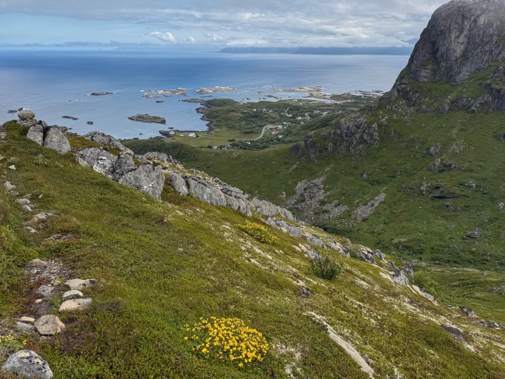
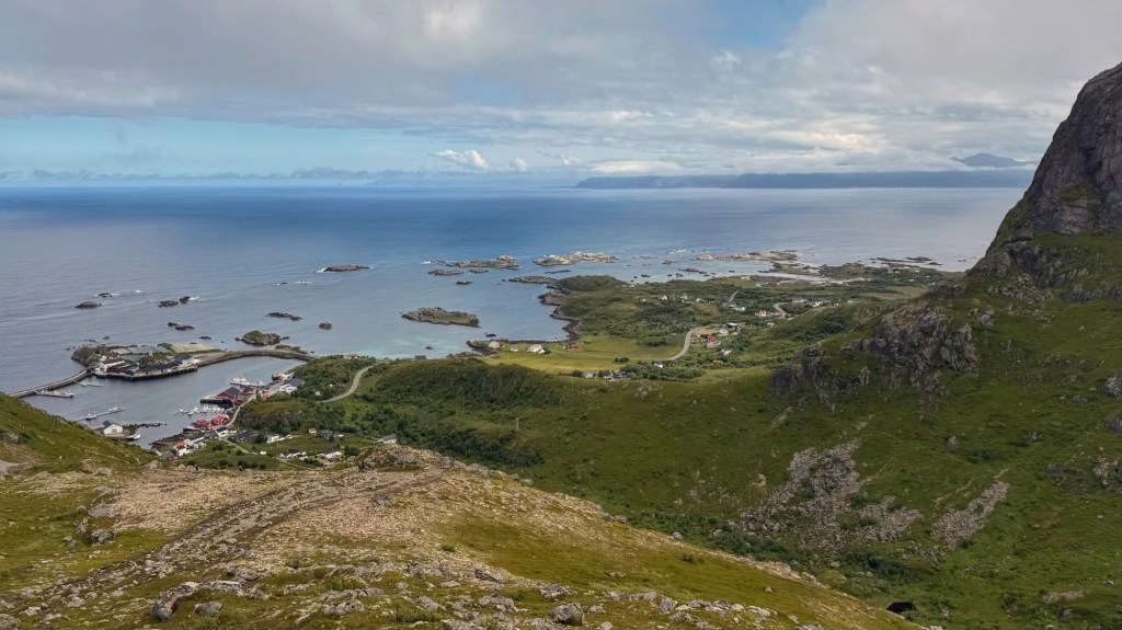
We now could see the harbour below us and, to our left, the coastal path we’d take on the way back. We could even see Molly, a tiny white dot parked miles away in Nyksund!

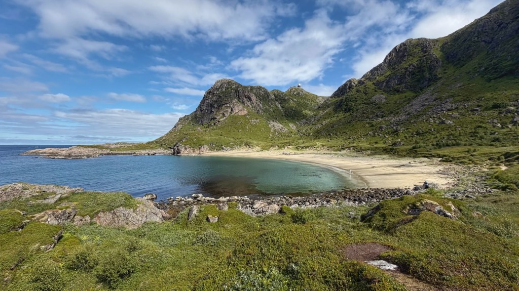
We ate our butties just outside Stø, then hit the coastal path. For some reason, I’d expected this to be easy, but it wasn’t. The path wound its way through boulder fields and bog, up and down, through meadows, then past a beautiful white sandy beach and several rocky beaches.
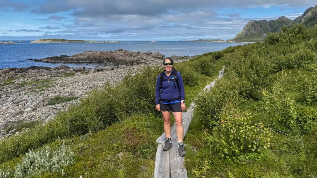
Eventually, we passed a freshwater lake and crossed a stream on stepping stones, before heading steeply up through birch trees and over more rocks and boulders to Nyksunkaret col where we’d stood 5 hours ago.
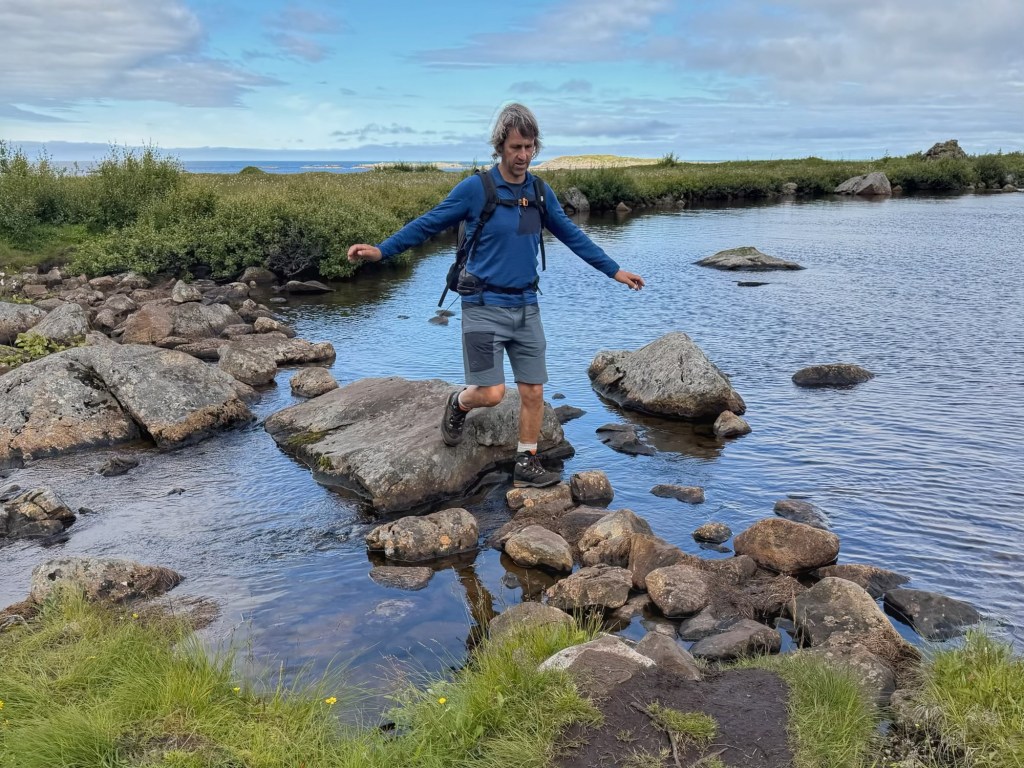
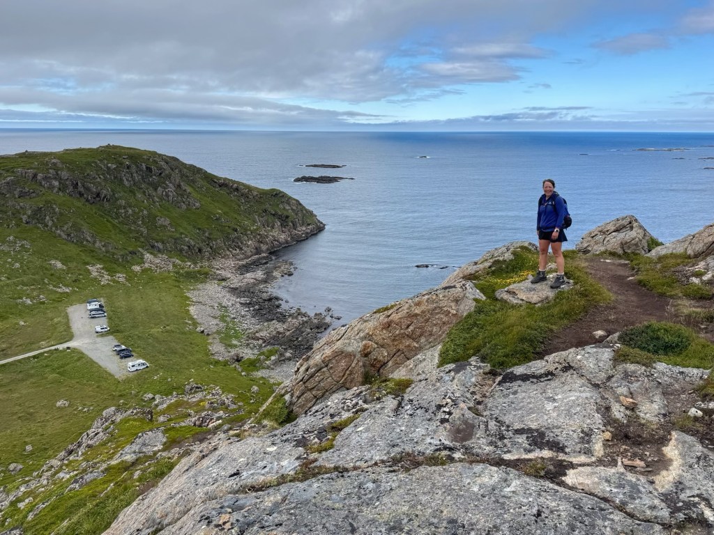
My legs were really tired by now and the low cloud had dispersed again so I was hot and sticky in the sunshine. I was very glad to reach the col and, a little later, to see Molly, far below us in the car park. Nevertheless, it was a beautiful walk and a great day.
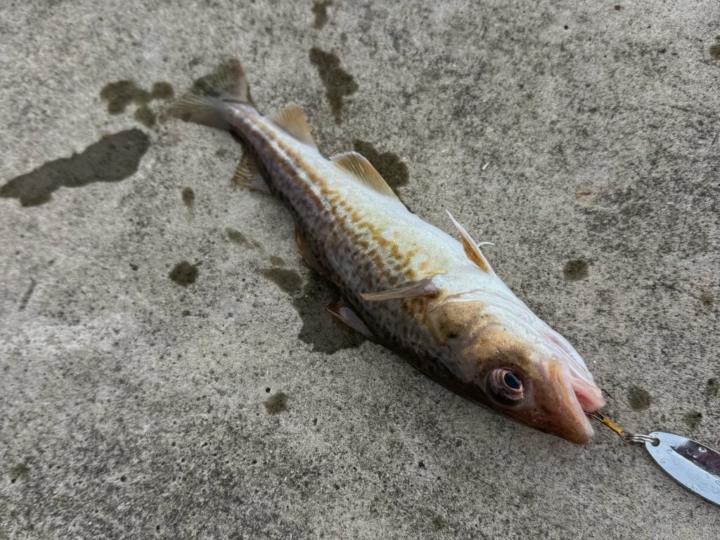
We’ve now driven to Stokmarknes where we’re staying in a lovely new aire, with spacious pitches, a view of the sea, and all the facilities we could need. I’m showered and fed, and now I’m doing my photos and blog while John’s fishing. He’s even caught a fish, although it was too small for dinner (thank goodness!), so he put it back.
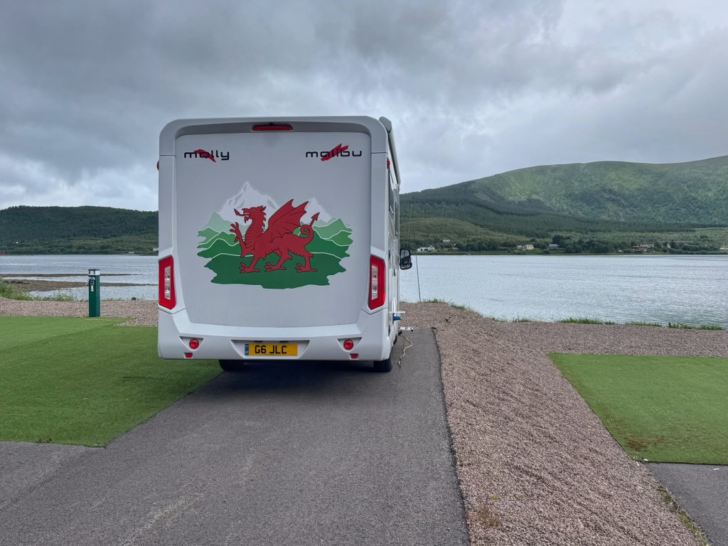
Tomorrow, we’re visiting the Hurtigruten Museum, before catching the ferry to the Lofoten Islands. Hopefully, we’ll have better weather than when we last arrived there! But who knows? It’s just so unpredictable this far north and west!
 Ramblings
Leave a comment